Latest on Hurricane Laura and Potential Local Impacts
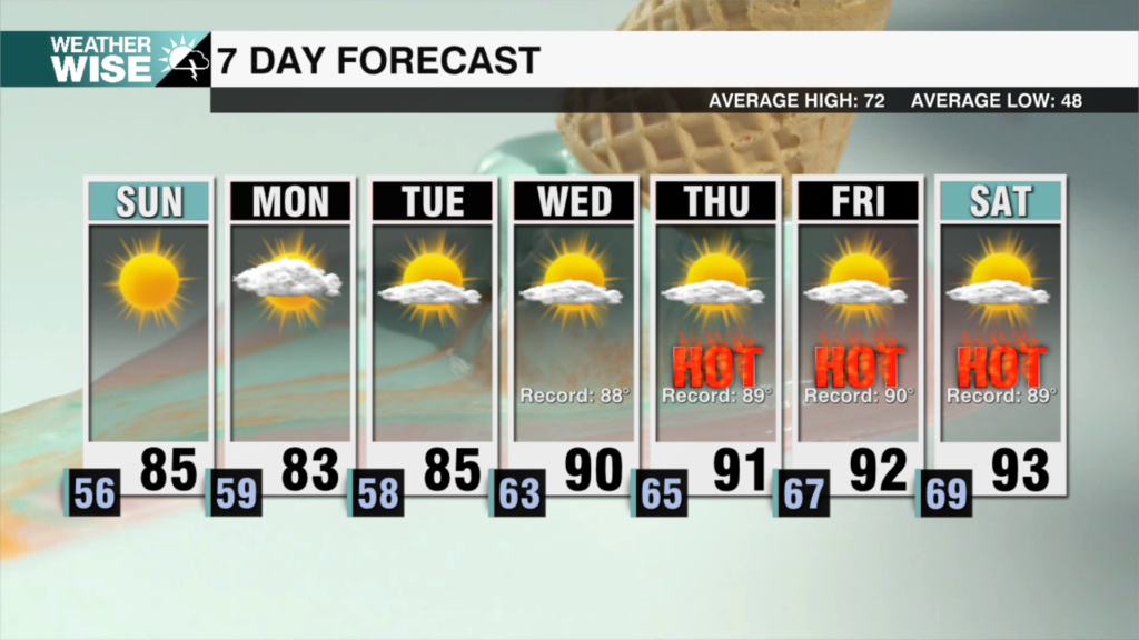
Waking up this morning to patchy fog and a mild start. Highs will reach the low 90s but it will be feeling closer to the triple digits with the return of some mugginess. Mostly cloudy skies later this afternoon with an isolated storm chance. Hurricane Laura made landfall near Cameron, LA just before 2am EST as a strong category 4 hurricane with sustained winds of 150mph – the strongest hurricane based on wind speeds to make landfall in LA since 1856. Remnants of Laura will reach the Carolinas late Friday into Saturday. Likely strong winds will prevail across the higher elevations where downed trees and power lines may be a concern. Rainfall totals of about 1/2″ possible for areas south of I-85. For the mountains, about 1-2″ tops will be likely. Still any heavy downpour could lead to flash flooding. Drying out for Sunday temps will remain close to seasonable with highs in the mid to upper 80s.
Today: P. Sunny. High: 92 Wind: SW 5-10 mph
Tonight: M. Cloudy. Low: 74 Wind: SW 5 mph
Fri: P. Sunny. High: 92 Wind: SW 5-10 mph
Fri PM: M. Cloudy. Low: 74 Wind: SW 10 mph


