Impacts from Remnants of Laura Begin Late Today
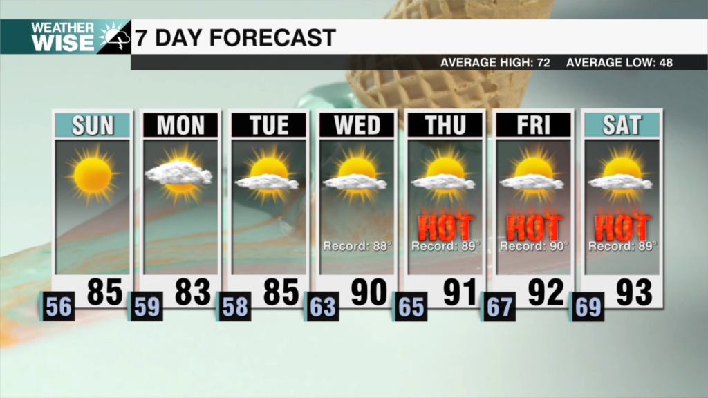
The remnants of Laura are located in NE Arkansas this morning. It will turn east towards the east coast this morning, further weakening into a remnant low into the weekend. Any tropical system could bring heavy downpours, damaging wind gusts and isolated tornadoes. The threat for severe weather stretches east into the Carolinas through Saturday. For us locally, it’ll be hot and sticky ahead of Laura with highs reaching the low 90s. It will feel closer to the triple digits when you factor in the heat and humidity. A few storms later this afternoon could bring strong gusts and a few heavy downpours – but the greater severe threat will be for Saturday. Timing is key, and it looks like we may come out on top with less of a severe threat as rain and storms move through the region by early afternoon. Still – better to be weatherwise. Expect rain and storms to move into the Charlotte metro area between 10 am-2 pm with clearing into the evening. Winds will pick up with 30 mph gusts possible. Sunday will be great with highs reaching the 80s under mostly sunny skies. Rain and storm chances return early next week.
TODAY: PM Storm. High: 91 Wind: SW 3-8 mph
Tonight: Chance Storms. Low: 74 Wind: SW 5-7 mph
Sat: Storms. High: 86 Wind: SW 10-15; G30
Sun: Chance Showers. High: 88 Wind: N 3-5 mph


