Temperatures Warming Ahead of Late Week Cold Front
Weather Headlines:
– Warming through Thursday
– Thursday cold front brings numerous showers
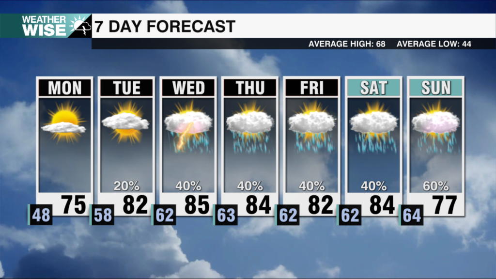
Another beautiful winter day on tap Tuesday with high pressure in control bringing us plenty of sunshine. Highs will top out near average – in the mid 50s. Clouds will increase on Wednesday with rain increasing late in the evening for the higher elevations. Our next weather system will move in on Thursday bringing numerous showers to the region along with highs topping out at 70 degrees. Thursdays rain looks to ramp up in the evening with isolated thunderstorms not out of the question. In wake of Thursdays cold front it will get cooler, but the cool down behind this front is not as drastic as the last. Expect Friday highs to top out near 60. This weekend will be dry with highs in the upper 50s.
Weather notes:
– It looks like a warm end to February. Climate Prediction Center forecast above average temperatures for the southeast day 8-14 which is February 21st-27th.
– There is a Slight Risk (level 2 out of 5) for severe weather on Wednesday for a portion of the south-central states. This includes portions of Texas, Oklahoma, Arkansas and Louisiana.
– The severe weather threat shifts east on Thursday into parts of Mississippi, Tennessee and Alabama.
Tonight: Clear. Low: 27. Wind: N 5.
Tuesday: Sunny. High: 56. Wind: E 5.
Wednesday: Increasing clouds. High: 63. Wind: S/SE 5-10.
Happy Valentine’s Day! Have a wonderful week!
Kaitlin


