Increasing Temperatures Ahead Of Late Week Cold Front
Weather Headlines:
– Warming through Thursday
– Thursday cold front brings numerous showers with isolated strong storms possible.
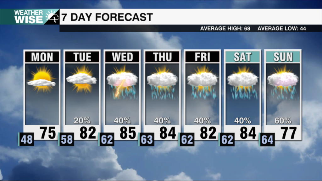
Clouds will gradually increase on Wednesday with an isolated shower possible, but most of us staying dry. Our next weather system will move in on Thursday evening bringing numerous showers to the area along with the possibility for isolated strong to severe storms. The primary threat is isolated storms producing damaging winds. The flooding and tornado threats are low, but not zero. The timing is late Thursday into early Friday from 9 pm – 4 am (as of Tuesday afternoon). In wake of Thursdays cold front it will get cooler, but the cool down behind this front is not as drastic as the last. Expect Friday highs to top out in the low to mid 60s. Dry conditions dominate the weekend with highs near 60.
Weather notes:
– It looks like a warm end to February. Climate Prediction Center forecast above average temperatures for the southeast day 8-14 which is February 21st-27th.
– There is a Slight Risk (level 2 out of 5) for severe weather on Wednesday for a portion of the south-central states. This includes portions of Texas and Oklahoma,.
– The severe weather threat shifts east on Thursday.
– The February full moon is technically tomorrow at 11: 56 PM, but it will be below the horizon. View it tonight as it rises at 5:08 PM. Moonrise is 6:11 PM Thursday.
Tonight: Mostly clear. Low: 33. Wind: E/SE 5.
Wednesday: Partly cloudy with gradually increasing clouds. High: 64. Wind: E/SE 5-10.
Thursday: Isolated daytime showers. Breezy. Increasing late PM – Friday morning. Isolated strong storms. High: 72. Wind: S 10-20 G:25.
Have a wonderful week!
Kaitlin


