Record Heat Returns
The Carolinas get hit with the blowtorch over the next couple of days as temperatures climb 15-20° above average.
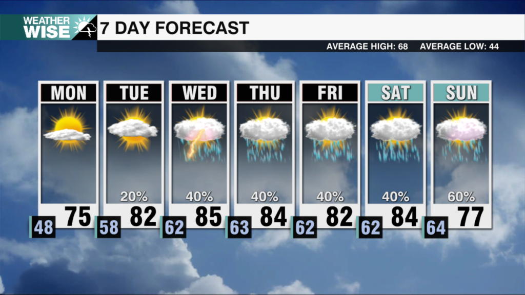
We’ve only reached the first weekend of March, but it may feel like May or June at times over the next couple of days. Despite increased cloud coverage, expect record highs near 80° for the second half of the weekend. The hot streak builds further heading into Monday, as most spots in the Foothills and Piedmont top out in the lower 80s. The High Country will enjoy temperatures near 60° over the next two days.
Rain chances remain minimal over the next 48 hours, but expect our first showers of the month to arrive by Tuesday morning as a cold front pushes through. An unsettled pattern takes hold of the Carolinas from there, and appreciable rain chances last into next weekend. It looks like the wettest day ahead comes on Wednesday, but a healthy inch of rain is in the forecast over the next seven days. Highs will dance around the 50s and 60s for much of the week beyond Monday, but a winter-like chill returns by the end of next weekend.
Tonight: Clouds build. Mild. Low: 57°. Wind: S 5-15.
Sunday: More clouds than sun. Very warm. High: 80°. Wind: SW 10-20. Gusts:20+
Sunday Night: Partly cloudy. Low: 57°. Wind: SW 5-15.
Monday: More sunshine. Warm & windy. High: 82°. Wind: SW 10-20. Gusts: 25+


