Rain Returns Late Tuesday
AM Headlines
- Patchy AM Fog
- Cooler and P. Cloudy Day
- Rain returns late afternoon/early evening
- On and off rain/storms through Saturday
- WATCHING:
- Localized Flooding Late Week
- Saturday Storms/Mountain Snow
Discussion
Unsettled Next Few Days
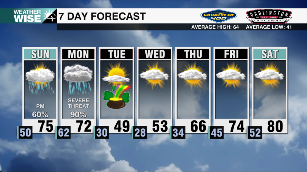
The boundary that brought us rain and storms late Monday will settle just south of the area through the day today. Temps will be close to 20 degrees cooler this afternoon with highs in the low 60s. A pulse of energy along the stalled front will bring rain and storms back into the region tonight into Wednesday. Expect heavy rain at times with a soggy and cool outlook Wednesday. We’ll catch a lull in the rain by Wednesday night. But, expecting this unsettled pattern to continue with more showers possible Thursday afternoon.
Storms and Mountain Snow Early Weekend
A strong cold front will bring rain and storms back to the area Friday night into Saturday. As of now, the severe threat looks low, but it will be something to watch over the next few days. Colder air will be riding behind this boundary and we will likely get a blast of snow for the higher elevations Saturday.
Cold, but drier end to the weekend
Much colder Sunday morning with temps in the 20s across the region. Highs will only reach the low 50s during the day. Temps will begin to rebound will a quieter outlook to start the next week.


