Increasing Clouds, But A Nice Tuesday On Tap
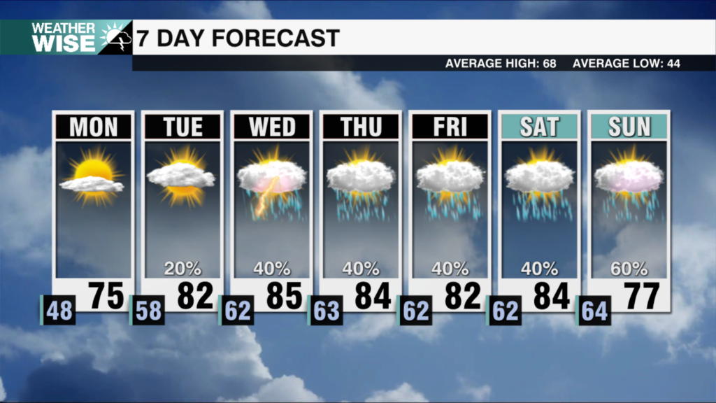
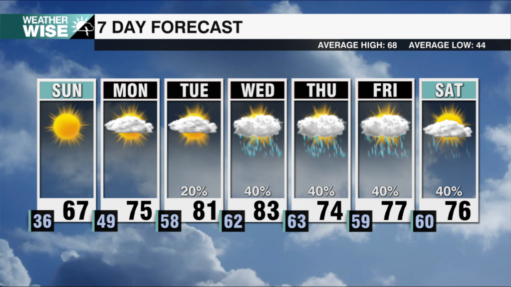
Wednesday will be wet with on and off rain that will be heavy at times.
Discussion:
An area of high pressure is moving east off the Carolina coast. This has allowed winds to shift and temperatures to warm. Our next weather system is a strong area of low pressure that is currently over Texas. This low will dive southeast over the Florida Panhandle over the next 24-hours before tracking toward the Carolinas. As this low tracks to our south, it will increase rain chances from late Tuesday through Wednesday. A weak cold front will move through late Friday into Saturday. This will bring us a few showers, but nothing widespread.
Tonight:
Clear skies with overnight lows in the mid to upper 30s. Wind: S/SE 5-10.
Tuesday:
A nice day with increasing clouds. High temperatures top out in the upper 60s. Skies will be cloudy by the end of the day Tuesday with showers increasing toward midnight.
Wednesday:
Showers will be numerous through the day Wednesday. This will be the wettest day of the week – there is no threat for severe weather. Rain will be heavy at times with rain totals between 1-2” isolated 3”.
Saint Patrick’s Day:
A few showers are possible before sunrise, but we dry out through the morning. Partly sunny skies overhead with highs near 70 degrees.
Friday:
Partly sunny skies with highs in the low to mid 70s. Weak PM cold front could bring us a few showers.
Notes:
The Climate Prediction Center 6-10 day temperature outlook is above average for the eastern half of the country.
Have a great week!
Kaitlin


