Patchy Frost Overnight, Cooler End to Weekend
AM Headlines:
- Freeze Warning for Ashe County tonight through 10 am Sunday
- Frost Advisory for Northern Burke, Caldwell Co, and Avery, Watauga Counties
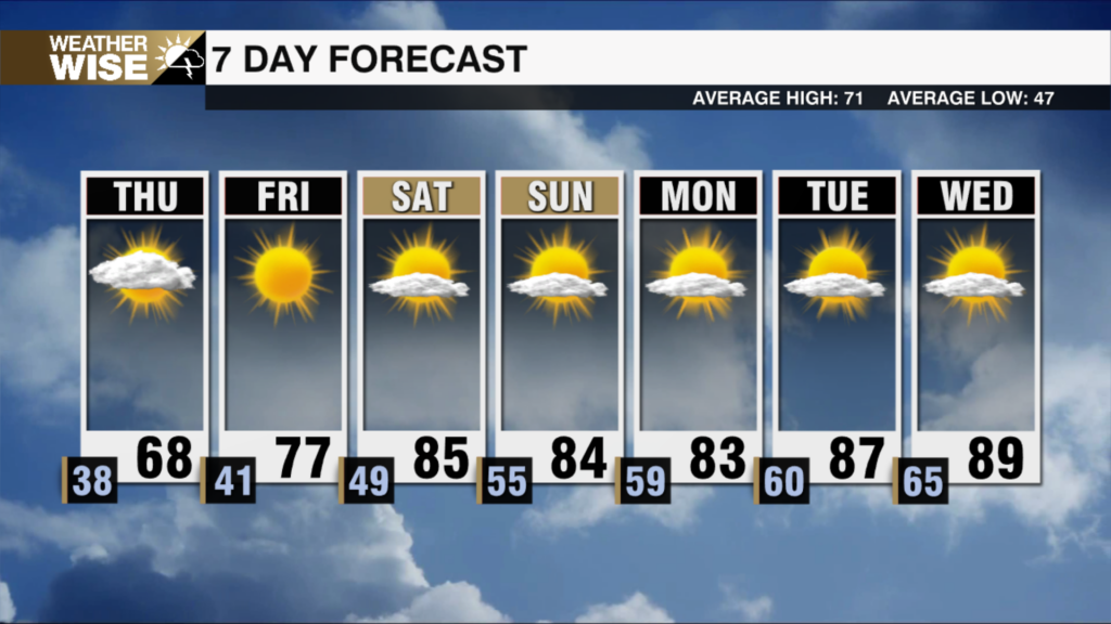
- A chilly night with a mild and partly cloudy Sunday
- Isolated showers south Monday
- The best chance of rain comes mid to late week
Discussion:
Freeze warning for Ashe county with a frost advisory for the northern foothills into Avery and Watauga counties as temps tumble into the 30s. Clouds will fill in overnight, but temps will still be chilly falling into the 40s for the rest of the region. Partly cloudy skies Sunday will lead to a cooler day with highs reaching the upper 60s in the queen city. This means pretty close to ideal conditions for drivers in the Roval 400. Highs will reach the low 70s Monday, but there is a brief opportunity for a sprinkle or two south as a weak disturbance brings some moisture back to the region. Temps will warm into the low to mid-70s through midweek. Our best chance of rain arrives late Wednesday into Thursday with a cold front. A few storms will be possible as well. As of now, severe threat looks to be north of us, but it will be something to watch through the week. Temps will cool to end the week with highs falling back into the 60s.
Tropics Update:
Julia is now a category 1 hurricane. It will make landfall in Nicaragua early Sunday. Dangerous storm surge up to 6 feet along with flooding rain 5-10″ with some areas receiving up to 15″ will be possible. This storm will be post-tropical as it moves into the Pacific Monday evening.