Dense Fog Tuesday Morning With An Unsettled Week Ahead
Temperatures will fall through the week
Discussion:
A slow moving cold front will cross the region Tuesday. This front will stall to our south with multiple low pressures riding along the front. This will bring an unsettled pattern through the week. Much cooler air builds in for the weekend.
Forecast:
Tonight: Moisture, clear skies and a light wind will lead to dense fog. The fog will develop overnight and will stick around through Tuesday morning. Visibility could drop to 1/4 mile. Lows: upper 40s.
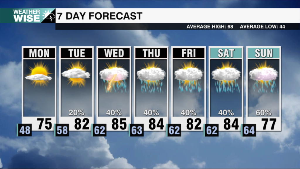
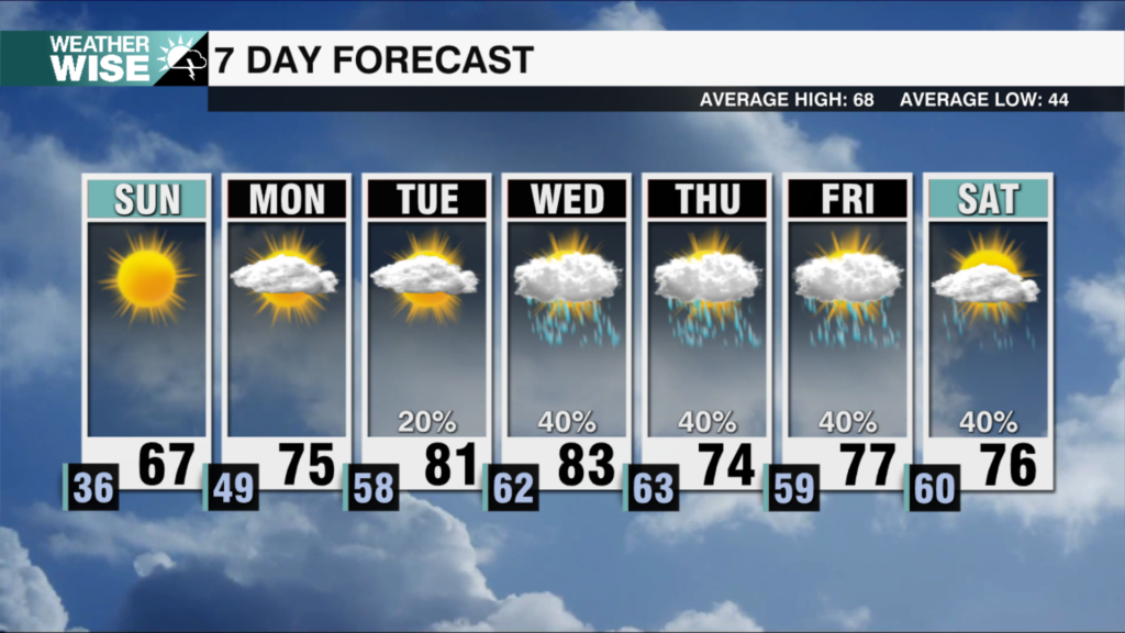
Tuesday: Dense fog sticking through the morning. Isolated showers possible in the Piedmont with rain coverage a bit higher north of I-40. Rain coverage will increase Tuesday PM into Wednesday AM. Highs: Upper 50s to around 60.
Wednesday: Morning showers then another round of rain late PM into Thursday. Highs in the low 50s.
Thursday: Rain. Highs in the upper 40s.
Friday: Drying out with partly sunny skies. Highs in the low 50s.
Notes:
– Winter weather alerts stretch from Texas to Pennsylvania. These alerts include Winter Storm Warnings, Winter Storm Watches and Ice Storm Warnings.
Have a great week!
Kaitlin


