Cooler Sunday, Arlene Downgraded to Depression
Outside of Saturday night, rain chances largely take a backseat over the next five days.
The first weekend of June is off to a blistering start, as Charlotte just cracked 90º for the first time in 2023 this Saturday afternoon. Summer-lovers should enjoy the heat while it lasts, because much cooler air crashes into the Carolinas by the second half of the weekend. A backdoor cold front will push in from the northeast, bringing isolated showers and storms Saturday evening. Lows will remain near normal overnight into Sunday in the 50s and 60s, but highs will only top out in the 60s and 70s in the afternoon. Temperatures rebound back into the 80s for much of the week ahead, while rain chances remain in the stray-to-isolated range.
We’re saying goodbye to Tropical Storm Arlene almost as quickly as we said hello. Arlene has been downgraded to tropical depression status and will likely dissipate to the northwest of Cuba by the end of the weekend. While heavy rain is expected for the island nation and southern Florida, the Carolinas will not be impacted. The National Hurricane Center is not monitoring any other systems at the moment. Stay weather-wise!
Tonight: Isolated storms early, then mostly cloudy. Low: 62°. Wind: Light.
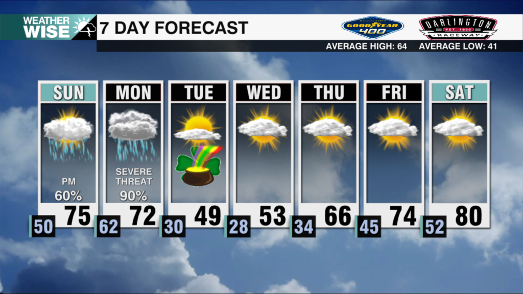
Sunday: AM mostly cloudy. PM variable clouds. High: 75°. Wind: NE 5-15.
Sunday Night: Clearing out and cooling down. Low: 58°. Wind: NE 5-10.
Monday: Warm sunshine. High: 83°. Wind: NE 5-10.