Stormy, Summery Pattern Ahead
The Queen City has only cracked 90º once so far this year. That could change by next weekend.
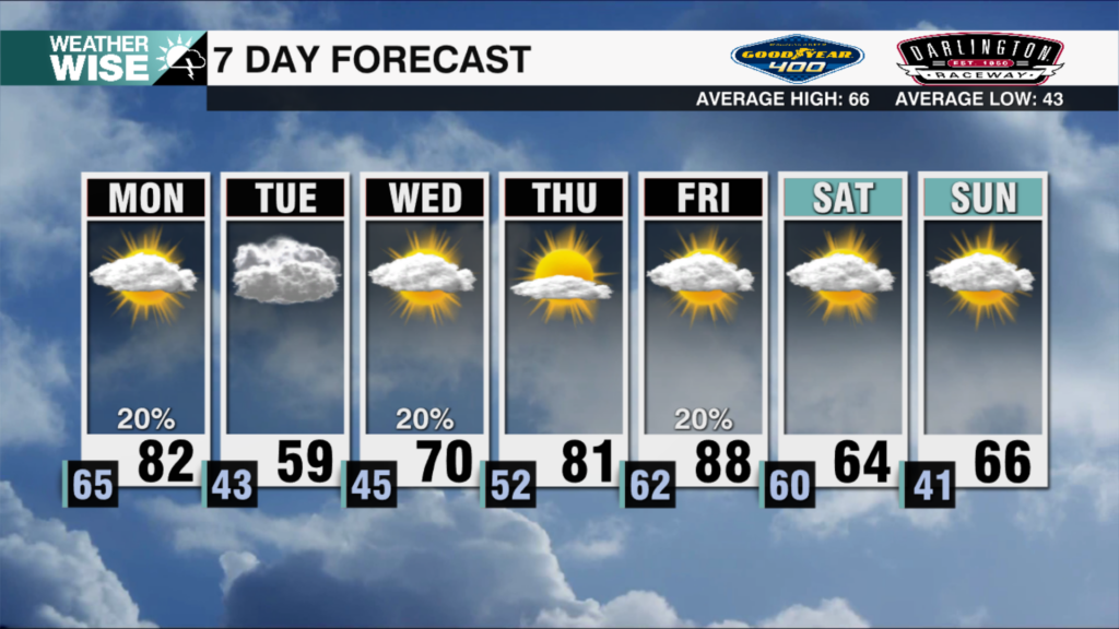
A special recipe of rain and wind is cooking up much better air quality for the second full week of June. Much of the Metro and eastward have topped out in the mid-to-upper 80s this Saturday afternoon, although the incoming cold front will cool things down as we start the workweek. 2-3 rounds of isolated showers and storms will blow through the WCCB Charlotte viewing area between Saturday evening and Monday afternoon. The overall severe threat is low, but areas west of I-77 could see a few strong cells. The most intense storms will pack gusts upwards of 40 mph and may produce small hail.
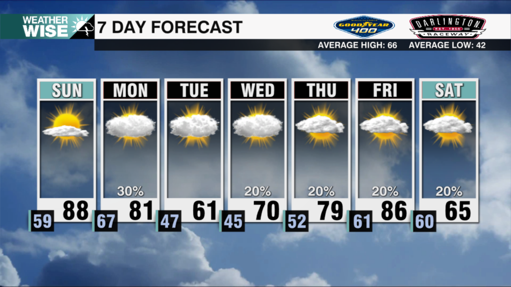
The incoming frontal system will likely stall out to our south and east. Winds will re-establish themselves briefly out of the northwest, but will quickly shift back in a more southerly direction before any meaningful connections can be formed with Canadian wildfire smoke. Scattered storm chances return to the forecast late Tuesday into Wednesday before a separate rainmaking system pushes the moisture out of our area by Thursday afternoon. Temperatures may approach 90º Friday and Saturday ahead of another rainy cooldown by the end of the weekend.
Tonight: Scattered storms early. Isolated storms overnight. Low: 67°. Wind: SW 5-15. Gusts: 20+
Monday: A few rounds of isolated storms. Some may be strong, especially west. High: 83°. Wind: SW 5-15. Gusts: 20+
Monday Night: Clearing out and cooling down. Low: 57°. Wind: NW 5-10.
Tuesday: Variable clouds. Scattered storns late. High: 80°. Wind: SW 5-15.