Chilly Start Sunday
The High Country can expect patchy frost over the next couple of mornings as lows dip into the 30s.
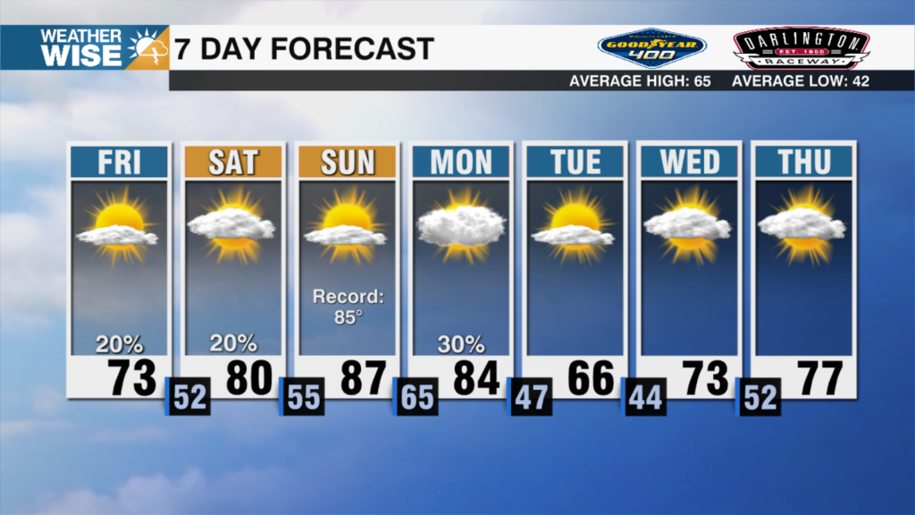
The cold air behind the front is taking its time getting here, but what it lacks in speed, it will make up for in potency. The coldest air we’ve seen in over five months arrives by Sunday morning, as lows crash into the 30s and 40s across the board. Some areas in the High Country will see their first frosts of the season. Highs will end up 5-10º below average Sunday afternoon in the 50s and 60s. Rain chances remain at bay through the remainder of the weekend.
Sunny skies and comfy highs build into the second week of October. Highs will steadily build as southwesterly winds, which have come at a premium over the past month, return. Expect temperatures to top out near 80º around the Piedmont and Foothills before a moisture-laden system pushes in from the southwest. It’s not a slam-dunk rainmaking event for the WCCB Charlotte viewing area, but it will be the most significant system to hit the Carolinas since Tropical Storm Ophelia last month.
Tonight: Clear and chilly. Patchy mountain frost. Low: 43°. Wind: NW 5-10.
Sunday: Cool sunshine. High: 66°. Wind: NW 5-15.
Sunday Night: Another chilly night. More widespread mountain frost. Low: 43°. Wind: Light.
Monday: Sunshine continues. Warmer. High: 72°. Wind: SW 5-15.