Cooler close to weekend, temperatures rebound into workweek
The warmest air we've seen all year arrives on Tuesday.
January 2025 was Charlotte’s coldest month in eight years, but February is off to a warm start this Saturday afternoon as highs have cruised into the mid-60s across the Piedmont and Foothills. Don’t count on your Sunday being quite as warm – highs will struggle to get much above 50° along I-85 and northwest as a wedge-like setup keeps mostly cloudy skies and patchy drizzle around throughout much of the day. Areas southeast of Charlotte may end up significantly warmer if clearing arrives earlier in the afternoon, but most communities will end up below average in terms of temperatures to close out the weekend.
Mostly sunny skies and southwesterly winds return by Monday morning, allowing temperatures to rebound sharply into the mid-60s around the Metro. The good times roll into Tuesday as the warmest air we’ve seen all year so far setlles into the Carolinas – much of the Piedmont and Foothills will find themselves in the mid-70s for the second day of the workweek. We’ll want to stay weather-wise for rain chances towards the back half of the week ahead, but above-average temperatures should stick around for at least the next five days beyond Sunday.
Tonight: Clouds build. Low: 42°. Wind: NE 5-15.
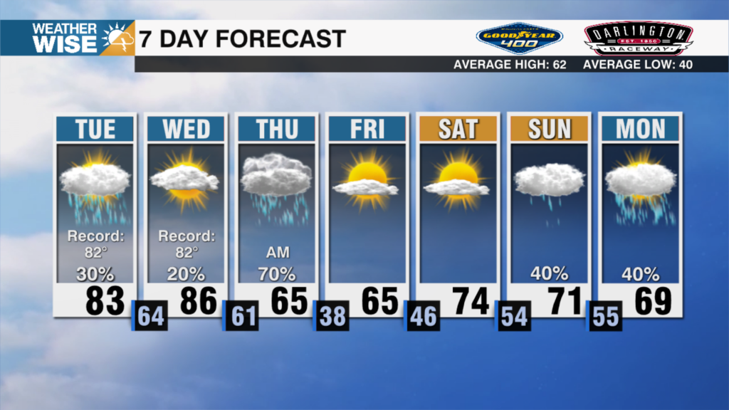
Sunday: Mostly cloudy with a stray shower. Some clearing possible later in the day. High: 51°. Wind: E 5-10.
Sunday Night: Clearing out. Chilly. Low: 38°. Wind: Light.
Monday: Comfy sunshine. High: 64°. Wind: SW 5-10.