Severe storms possible Saturday
Damaging gusty winds and ping-pong-ball-sized hail are the main threats Saturday, but frequent lightning and heavy rain are also possible in the strongest cells.
Some much-needed rain is on its way to the Carolinas, but some communities may be in for a bumpy ride when it gets here. An expansive storm system will sweep through the Eastern Seaboard over the next 48 hours, bringing scattered storms to the WCCB Charlotte viewing area by the mid-afternoon hours on Saturday. A Level 2 out of 5 risk has been posted for much of the Metro and northward for the first half of the weekend, with the main threats being damaging wind gusts and hail up to ping pong ball size. The strongest cells may also produce frequent lightning and localized torrential rain. Fortunately, the tornado risk appears to be very low.
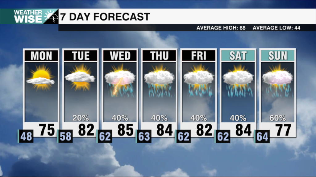
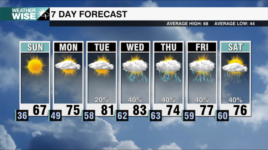
Medium-range models continue the slowing trend of our incoming system, which may allow for rain chances to linger through May’ first weekend, especially east of the Queen City. Cooler air should still filter into the western half of the Carolinas as the passing cold front sluggishly clears eastward, but highs will remain near normal in the upper 60s and mid-to-upper 70s across the board between Sunday and midweek. The bulk of the rain over the next seven days should fall Saturday afternoon and evening, but isolated storm chances will hang around well into next week.
Tonight: Scattered storms early, then variable clouds. Low: 64°. Wind: S 5-15.
Saturday: Mostly sunny early, then scattered storms. A few storms may be severe. High: 81°. Wind: SW 5-15. Gusts: 20+
Saturday Night: Scattered storms. A few storms may be severe. Low: 61°. Wind: S 5-15.
Sunday: AM mostly cloudy with a few storms. PM sunnier with stray storms E. High: 77°. Wind: SW 5-15. Gusts: 20+


