An unseasonably cool and dreary week ahead
A taste of fall over the coming days
After dealing with record breaking heat to start this week, we are ending it with well below average temperatures. For the first time since June 5th, Charlotte failed to reach the 80s, and it wasn’t even close, only topping out at 74. If you’re a fan of this pseudo-fall weather, then you’ll love this forecast. I don’t see the Piedmont reaching the 90s through the next 5 days at least. All of this is thanks to a “cold air damming” weather pattern. This is more typical in the winter months, but as we can see, it does occur from time to time in the summer. The pattern occurs as high pressure funnels in cooler air in from the north. This shallow layer of fall like weather gets trapped at the surface over our area with no easy escape. As fun as all that science is. It unfortunately leads to a pretty tough pattern to forecast.
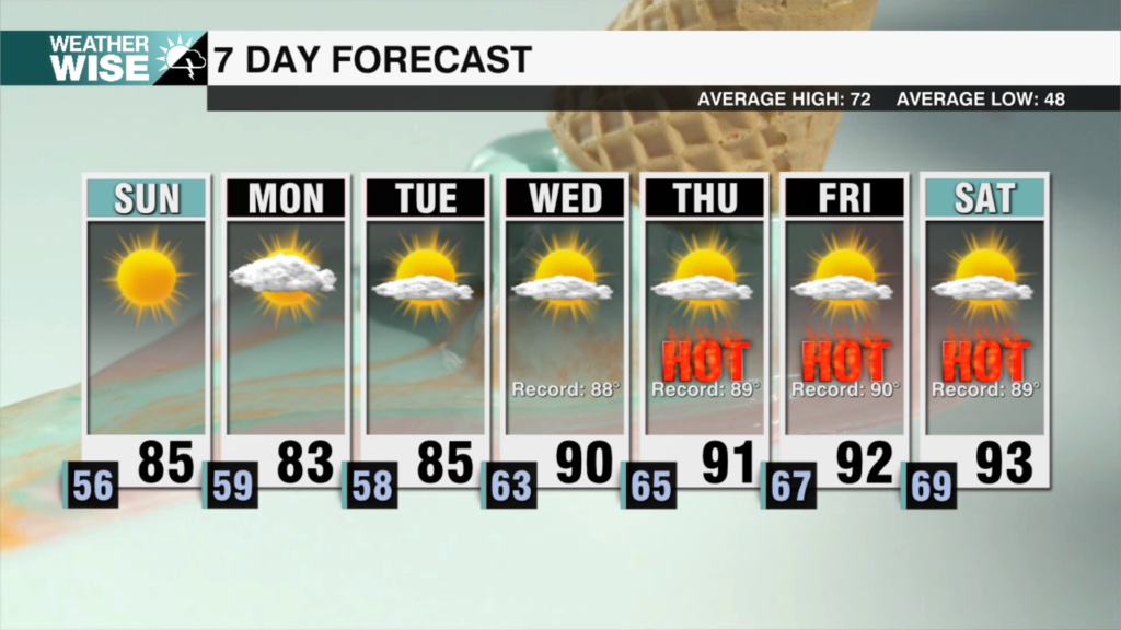
So let’s get into the most likely scenario. The most likely case is that the next 5 days or so keep high temperatures, generally around 80 in the Piedmont. Temperatures in the High Country look to top out around 70 on Sunday, then closer to 75 the rest of the week. Rain chances are where the forecast gets tricky. It doesn’t take much in this pattern to get rain. So rain chances will remain elevated throughout this work week as rounds of energy override our cool airmass. This means rain chances will be in the 40% range nearly every day. It won’t be a constant washout, but each day will at least have a chance area wide. Because of the tricky nature of this forecast, make sure to continue to come back and check for updates. I do see signs of sunshine by next weekend when things look to get a bit closer to normal.
Tonight: A stray storm. Hot and muggy. Low: 66°. Wind: E 5 mph
Sunday: Mostly cloudy. A few showers are possible. High 79°. Wind: E 5-10 mph
Sunday Night: Mostly Cloudy. A few showers are possible. Low: 65°. Wind: E 5-10 mph
Monday: Mostly cloudy. A few showers are possible. High 80°. Wind E 5-10 mph


