Cool & sunny start to weekend, much-needed rain in sight
Most communities remain dry through the weekend, but confidence is increasing that a robust storm system slides through the Southeast early next week.
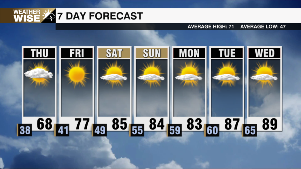
Happy Friday! 30s and 40s are once again greeting us as we kick off the final day of the workweek. Temperatures will make a valiant effort to rise to near-normal values, but highs will likely fall short of 70° around the Metro this afternoon. The cool and sunny stretch saunters into the weekend; expect a similar day on Saturday as patchy frost and freeze find their way into the I-40 corridor and northward in the morning. Afternoon temperatures remain in the 50s and 60s on Sunday as clouds build ahead of our next rainmaking system.
Most locations will remain dry through the weekend, but rain chances begin ticking upward across the WCCB Charlotte viewing area overnight Sunday into Monday as an expansive storm system slides through the Southeast. It appears the “bullseye” for the heaviest rainfall will remain south of our region, but models continue to show a healthy 1-3″ for the Carolinas between Monday morning and Wednesday evening. Rain totals in this range won’t completely solve our drought problems, but it will put a solid dent in them. The widespread rain and cloud cover on the way will make it difficult for us to get out of the 40s and 50s across the board through the first three days of the workweek – a sign of things to come this winter.
While Tropical Storm Melissa has weakened over the past 24 hours, the forecast is becoming increasingly dire for the northwestern Caribbean. The National Hurricane Center (NHC) continues to forecast Melissa as a high-end Category 4 hurricane early next week as it approaches Jamaica at a snail’s pace. The island nation may see multiple days of hurricane-force winds and torrential rainfall starting this weekend. Models don’t take Melissa away from the Caribbean until Wednesday of next week as it eventually sprints northeastward over the open Atlantic and away from the U.S. mainland.
Today: Sunny and cool. High: 69°. Wind: N 5-10.
Tonight: Mostly clear. Chilly with mountain freeze possible. Low: 42°. Wind: NE 5-10.
Saturday: Mostly sunny. Remaining cool. High: 67°. Wind: NE 5-10.
Saturday Night: Partly cloudy. Another chilly night. Low: 45°. Wind: NE 5-10.
Sunday: Clouds build. Stray shower late? High: 65°. Wind: NE 5-15.