A Sunday washout is on the way
Tracking a rainy Sunday with a major warm up next week
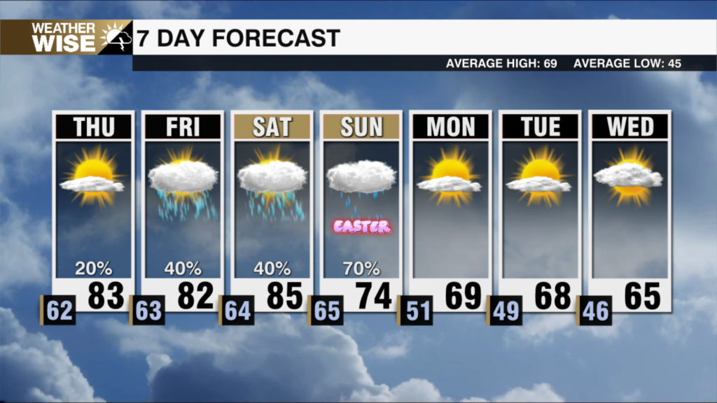
Rainfall is about to return to the forecast in a big way. Rain will be plentiful on Sunday as a washout is expected throughout the day. Showers will work into the viewing area overnight tonight, and rain will become widespread by late tomorrow morning. Temperatures will be on the chilly side, with most in the metro topping out around 50, mid 40s in the foothills, low 40s in the High Country, and lower 60s in the Sandhills. Rain will begin to dissipate overnight Sunday, and we will be all clear by Monday morning. Rain totals will be in the range of an inch for most of us. This won’t be enough to make flooding an issue, and should help to cut down at least a bit on our ongoing drought in the Carolinas.
After the rain moves out, the temperatures become the big story. A week of spring-like temperatures is on the way. Monday the sunshine will be bright and temperatures will soar into the mid 60s for most. This is only the beginning, as we see well above average temperatures all week long! Our average highs this time of the year are in the mid to upper 50s. By the end of the work week we will be near 20 degrees above that. With morning lows not dropping below freezing any time soon, it may be time to dust off the shorts! With this spring time weather I will caution you not to get too excited about planting as this will likely be a classic Carolina “fake spring”.
Rain chances will begin to slowly rise after Wednesday, but the majority of the coming week looks to be dry. Stay tuned to the WCCB weather team for the latest and don’t forget that umbrella tomorrow!
Tonight: Showers late. Low: 46°. Wind: SW 5
Sunday: Rain. Moderate to heavy at times. High 50°. Wind: NE 5-10
Sunday Night: Rain early. Low: 39°. Wind: N 5-10
Monday: Sunny. High 65°. Wind: NE 5-10