Spring Feels Continue
AM Headlines:
- Breezy Afternoon
- Spring-like feels through Saturday
- Saturday PM – Early Sunday Rain/Snow chances
- Chilly Valentine’s Day
Discussion:
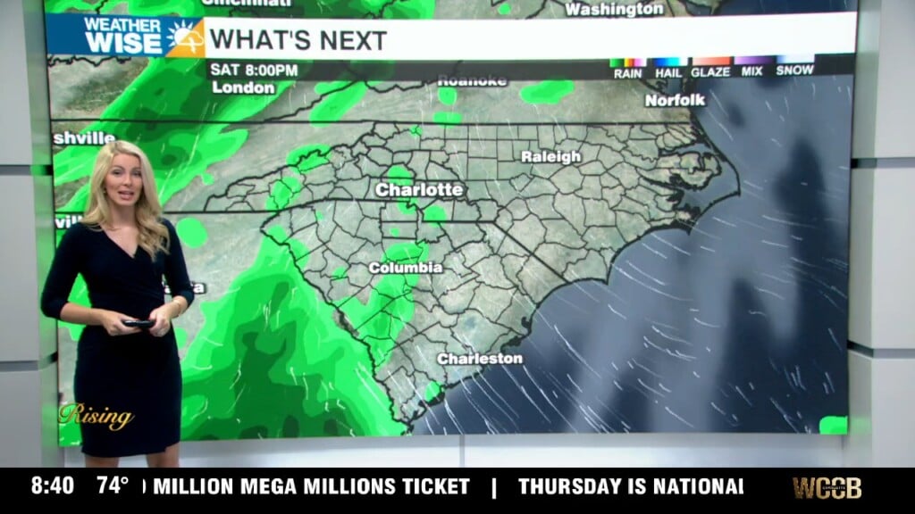
A weak and moisture-starved boundary will cross the region today. The most noticeable impact from this front will be the breezy afternoon. Winds will gust 25 to 30 mph out of the southwest this afternoon. Temps will fall a few degrees in the mountains, but the rest of the region will see even warmer temps into the mid-60s today. Sunny and spring-like through the end of the week with highs in the upper 60s Friday and Saturday. A stronger front will cross the region Saturday night into Sunday morning as a pulse of energy zips into the region. As of now, expecting the colder air to be chasing the front, but this piece of energy will tap into some moisture which could lead to a brief change from rain to snow early Sunday morning. An accumulation outside of the mountains looks unlikely, but still something to watch. Drier air moves in Sunday afternoon and temps will cool through Valentine’s Day. Highs on Sunday will barely crack 50, with temps struggling to break out of the 40s Monday. The chilly weather will be brief though as temps warm back to the 60s by mid-week.