Steamy & Stormy Pattern Continues, Tropical Storm Debby Forms in Gulf
Tropical Storm Debby has formed southwest of Florida - the system will bring months' worth of rain to the Southeast in a matter of days.
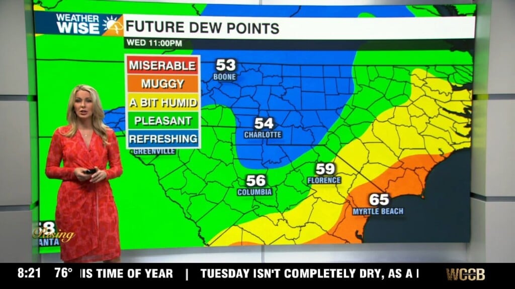
The steamy and stormy pattern continues into August’s first weekend. A low-end severe threat has opened up across the Carolinas this Saturday afternoon – heavy rain and damaging gusty winds are the main threats. The severe risk drops significantly into Sunday, but a few heavy storms are possible as a front stalls over our area. The increased clouds and rain chances will keep temperatures from soaring as high as they did during the workweek, but highs will still largely end up in the mid-to-upper 80s over the next few days.
Hot and humid days with isolated storms continue through the first few days of the workweek, but big changes arrive by midweek thanks to what has become the Atlantic’s fourth named storm of the year. Tropical Storm Debby formed just north of Cuba Saturday afternoon, and will cruise northward over the next 24 hours before curving northeast, likely making landfall north of Tampa. While Debby probably won’t be a strong system at landfall, it will dump massive amounts of rain over the Southeast as the system is forecast to slowly trudge along the Atlantic coast well into the week ahead. Debby isn’t expected to be a huge deal in the Charlotte area right now, but the eastern half of the Carolinas may see months’ worth of rainfall in the matter of days. Any small change in the track could have massive ripple effects on the forecast, so it’s important to stay weather-wise as we head into August’s first full week.
Tonight: Scattered storms early, then some clearing. Low: 73°. Wind: SW 5-10.
Sunday: Variable clouds with PM scattered storms. High: 89°. Wind: SW 5-10.
Sunday Night: A stray storm or two early, then mostly cloudy. Low: 73°. Wind: Light.
Monday: Partly sunny with isolated storms later in the day. High: 87°. Wind: SE 5-10.