Next system in sight
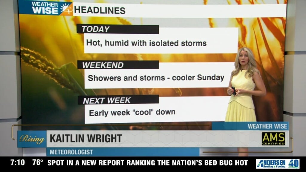
Summer’s grip on the area continues with isolated afternoon storms and hot temperatures.
Temperatures continue to run above average by about 3-5 degrees or so across the Piedmont as our first heat wave of the season rages on. Luckily, the worst of the heat has passed after cracking triple digits in the Queen City this past Wednesday. Further relief from the heat is likely in the mountains/Foothills as afternoon storms are expected to be a more common sight this weekend. High temperatures will top out in the near 80 in the High Country, and continue to easily crack the lower 90s in the Foothills and Piedmont.
Looking ahead, the pattern looks to break down by early next week as our next system approaches from the west. Monday’s weather will feel like the weekend, but by Tuesday we will finally shake things up! There are still details to iron out here, but rain chances look to substantially rise area-wide by Tuesday, and could last into Wednesday depending on the evolution of this frontal system. The good news is at the very least this front will likely bring temperatures back to average or *potentially* even slightly below average. Rain totals will likely be the highest in the High Country, but could still be an appreciable .5” to 1” in the Piedmont.
After that, we turn our attention to the 4th of July forecast, which for now looks seasonable with hot temperatures and some isolated storms.
Tonight: Clearing. Mild and muggy. Low: 72°. Wind: Calm
Saturday: Mostly Sunny with isolated PM storms. High 92°. Wind SW 5-10
Saturday Night: Clearing. Mild and muggy. Low: 72°. Wind: Calm
Sunday: Mostly Sunny with isolated PM storms. High 92°. Wind SW 5-10