Classic summertime setup ahead
While a few heavy storms will pop up in the afternoons ahead, most communities remain dry through the majority of the weekend.
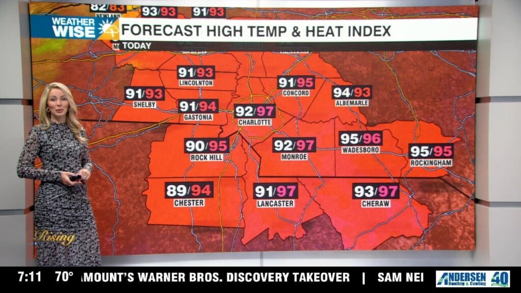
We’ve finally made it to Friday – and there’s some light at the end of the stormy tunnel we’ve been trekking through since midweek. A much more stable airmass is settling in this weekend, allowing for sunny skies and toasty highs across much of the Carolinas. While a few heavy storms may pop up between now and Sunday, most communities will remain dry through the majority of the weekend ahead. Highs will top out in the mid-to-lower 90s across the Piedmont and Foothills over the next five days while the High Country enjoys afternoon temperatures closer to 80°.
A more unsettled pattern returns by the start of the workweek as a frontal system skirts by the Carolinas to the north. Overall, don’t expect much change over the next week – the dog days of summer are here. The tropics remain quiet, as well.
Today: AM fog. PM mostly sunny with isolated storms. High: 91°. Wind: Light.
Tonight: A storm or two early, then mostly clear. Low: 73°. Wind: Light.
Saturday: Mostly sunny with a few afternoon storms. High: 93°. Wind: Light.
Saturday Night: A few storms early, then mostly clear. Low: 73°. Wind: Light.
Sunday: Another hot one with a stray storm. High: 95°. Wind: Light.