Wonderful workweek ahead
A robust ridge of high pressure will keep much of the East Coast dry and sunny this week.
Another fantastic taste of fall has arrived as we roll into August’s final week. Our second cold front in three days has opened the door for a robust ridge of high pressure to set up shop across the Midwest, filtering in cool and dry air across the Carolinas while keeping much of the Eastern Seaboard dry for the week ahead. Highs will top out 5-10° below normal through at least Thursday as humidity levels take a major dive across the board. Lows may find themselves in the 40s in the High Country at times this week, while the Piedmont and Foothills bottom out in the mid-to-upper 50s.
Temperatures and dew points make a modest recovery by next weekend, but the mercury likely won’t reach above 85° in the Queen City. Rain chances remain few and far between for at least the next seven days. September’s first week looks warmer and more unsettled, but we’ll have plenty of time to enjoy the good times while they last this week.
The tropics are remarkably quiet as we round into peak hurricane season. The National Hurricane Center (NHC) named Tropical Storm Fernand in the open Atlantic over the weekend, but it won’t be much of a factor as it treks east of Bermuda and fizzles out over the coming days. The only area being monitored for development is located just east of the Caribbean – this region only has a 10% chance of tropical formation over the coming days as it battles dry air and wind shear. It’s important to stay weather-wise over the next month or so as this is historically the most active time in the tropics, but the Atlantic appears poised for an uneventful week ahead. Great news!
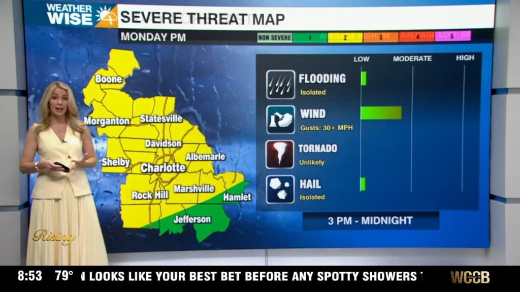
Monday: Plentiful sunshine. Humidity drops. High: 86°. Wind: N 5-10.
Monday Night: Partly cloudy. Cooler. Low: 64°. Wind: N 5-10.
Tuesday: Beautiful. High: 82°. Wind: N 5-10.
Tuesday Night: Clear and cool. Low: 59°. Wind: N 5-10.
Wednesday: Another stunner. High: 80°. Wind: NE 5-10.