Windy and warm Thursday, but cold air will quickly rush in
First freeze likely for much of the Piedmont this weekend
Forecast:
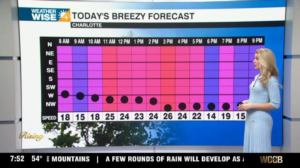
Thursday: A band of light rain is pushing across the Piedmont this morning, but will move out quickly. More clouds through the first half of the day with clouds clearing in the second half.
Snow showers likely later today and Friday in the mountains, but accumulation will mainly be for areas above 3,500′. There is a winter weather advisory on the northwestern facing slopes in Tennessee right at the North Carolina border.
Friday: Cooler and breezy. Highs in the mid 50s, but feeling like the 40s with the wind. Snow in the mountains with the highest elevations seeing several inches.
Saturday: A frigid morning, but likely staying just above freezing in the Charlotte area. Many neighborhoods waking up to lows hovering near freezing to the mid 30s. Sunny. Highs in the low to mid 50s.
Sunday: Our first freeze of the season is likely for Charlotte. Morning lows will be in the 20s and low 30s. Sunny. Highs in the mid 50s.
First half of next week looks dry and cool. Highs in the 50s with lows flirting with freezing.
Have a great day!
Kaitlin