Temperature Roller Coaster with Late Week Ran
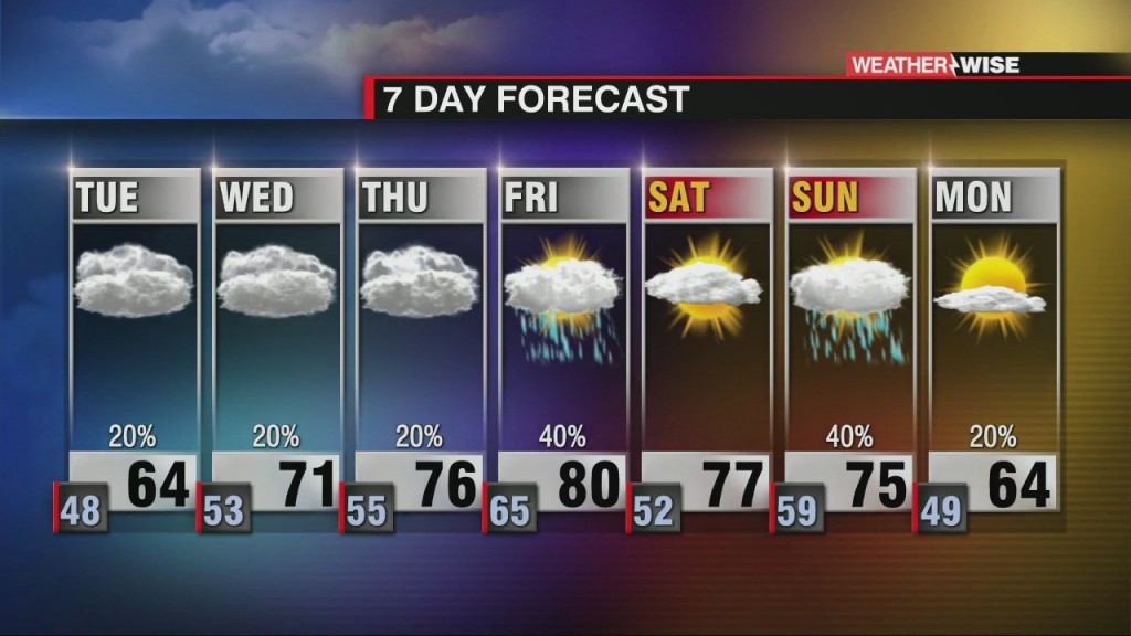
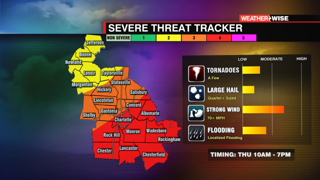
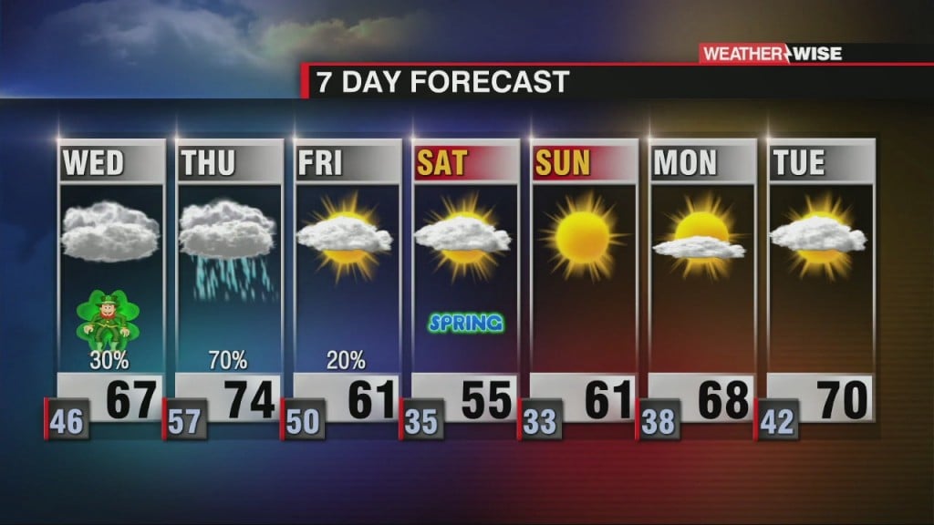
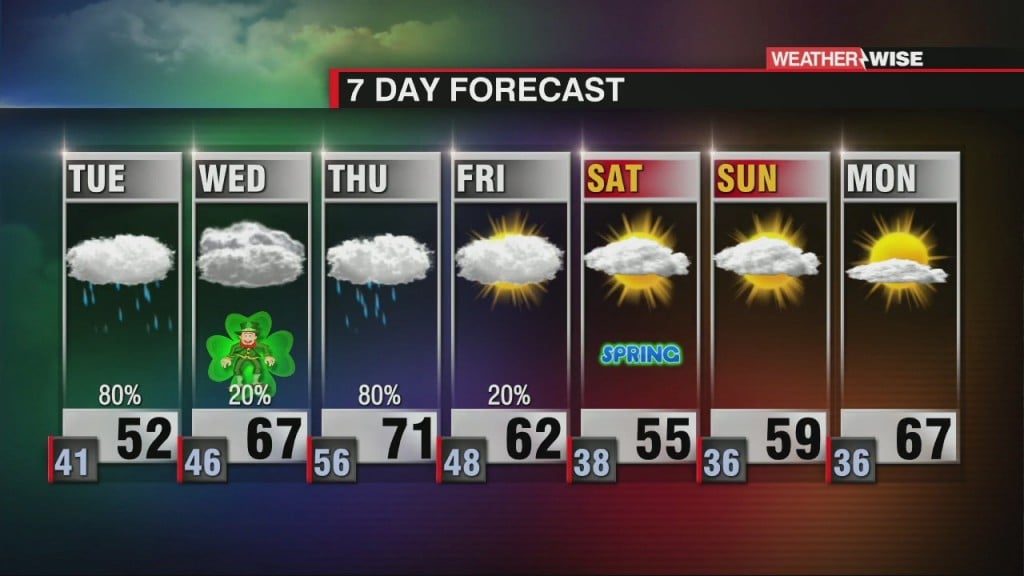
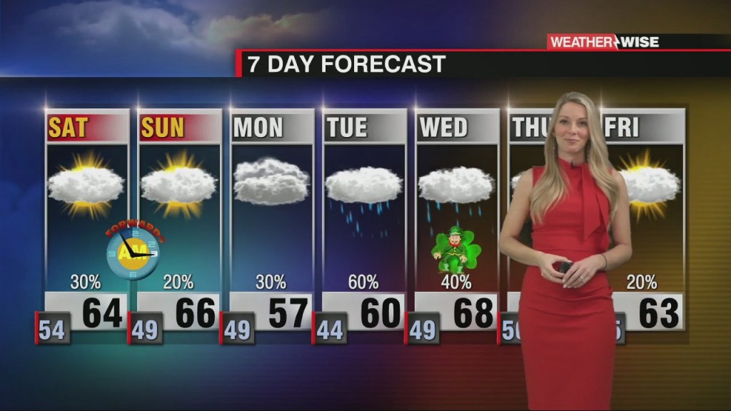
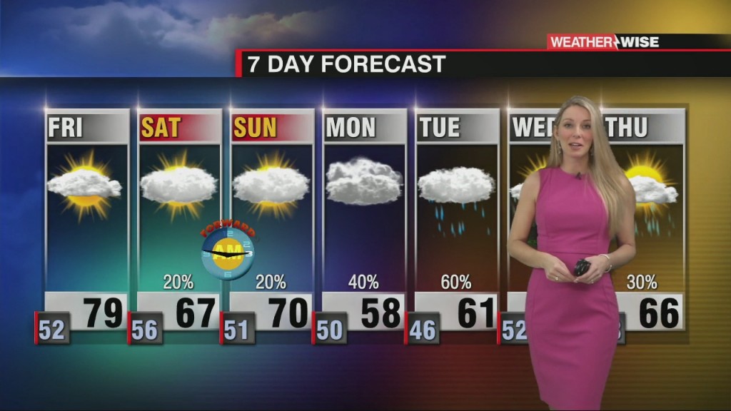
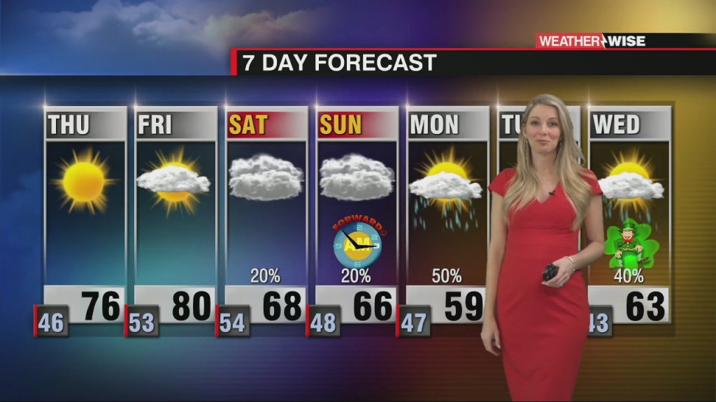
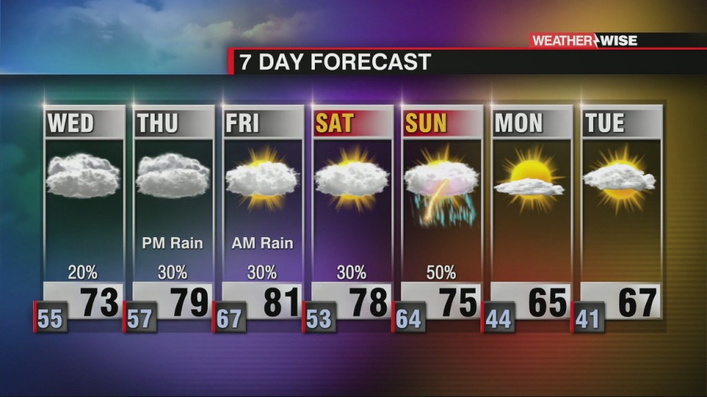
A temperature roller coaster dominates the week with increasing late week rain and storm chances.
Sections
WCCB
Extras

A Charlotte native, Kaitlin graduated from the University of North Carolina at Charlotte in 2015 with a Bachelor’s of Science in Meteorology. Before returning home, her broadcast career took her to Albany, New York; Myrtle Beach, South Carolina; and Pensacola, Florida. From hurricanes and tornadoes to excessive heat and snow – she is knowledgeable about and familiar with a variety of weather conditions.
Kaitlin holds the prestigious AMS Certified Broadcast Meteorologist (CBM) designation from the American Meteorological Society. The CBM is considered the gold standard in broadcast meteorology, recognizing excellence in meteorological expertise and effective communication of weather information to the public.
Kaitlin considers her greatest accomplishment to be motherhood. She and her husband, Ryan, are raising their three young boys, Reece, Holland and Rhodes who keep life busy, fun and full of adventure.
A temperature roller coaster dominates the week with increasing late week rain and storm chances.
Temperature roller coaster this week with end of the week rain.
Christmas Eve rain with possible strong storms. Behind the cold front, expect a BIG cool down.
Widespread rain, strong winds, and snow will impact the region on Christmas Eve. Blustery Christmas to follow.
Christmas Eve rain with a big Christmas day cool down.
Great Conjunction of Jupiter and Saturn will occur on December 21st, 2020.
A nice couple of days ahead before a powerful Christmas Eve cold front.
Wintry mix expected for some across the WCCB area on Wednesday.
A pair of systems will sweep through the Carolinas by Wednesday, the latter of which could bring some white stuff to our area.
Cold air is diving south across the Carolinas. The next front will move through Wednesday.
icons go here