Concerts to attend this week around Charlotte
View a full list of the biggest names and concerts happening around Charlotte this week.
View a full list of the biggest names and concerts happening around Charlotte this week.
Two drivers died and six passengers, including five children, were injured Saturday afternoon in a head-on collision in York County.
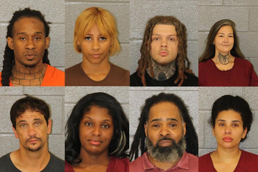
Check out the Mecklenburg County Mugshots from Saturday, August 1st.
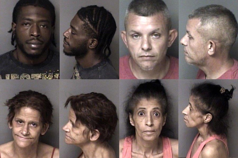
Check out the Gaston County Mugshots from Saturday, August 1st.
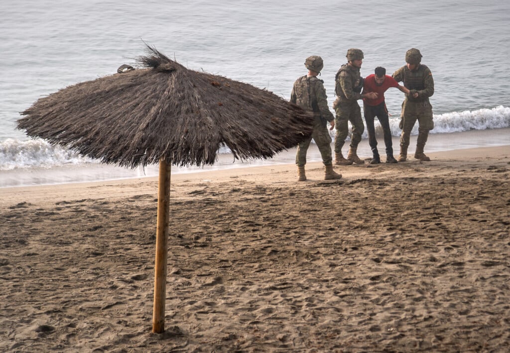
Spain has installed a 500-meter containment barrier on the sea border between its North African territory of Ceuta and Morocco.
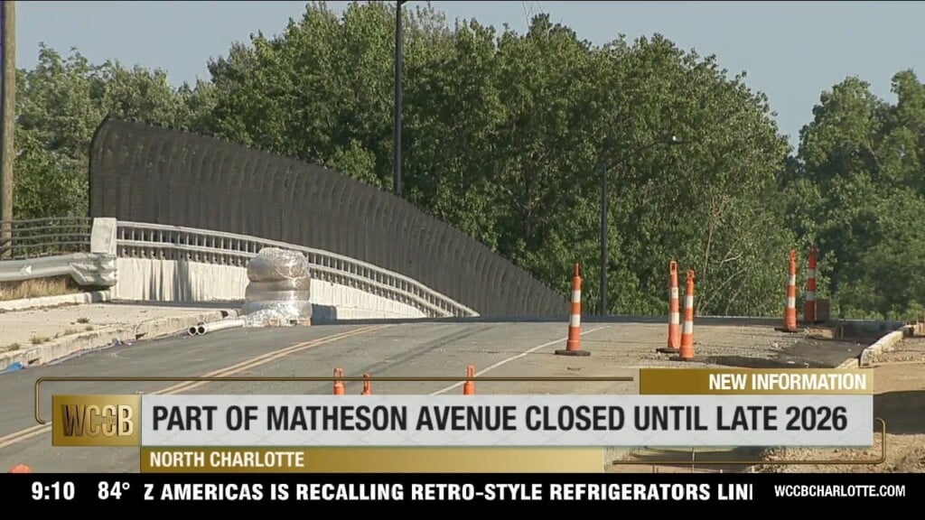
Part of a busy road in north Charlotte will be closed until later this year.
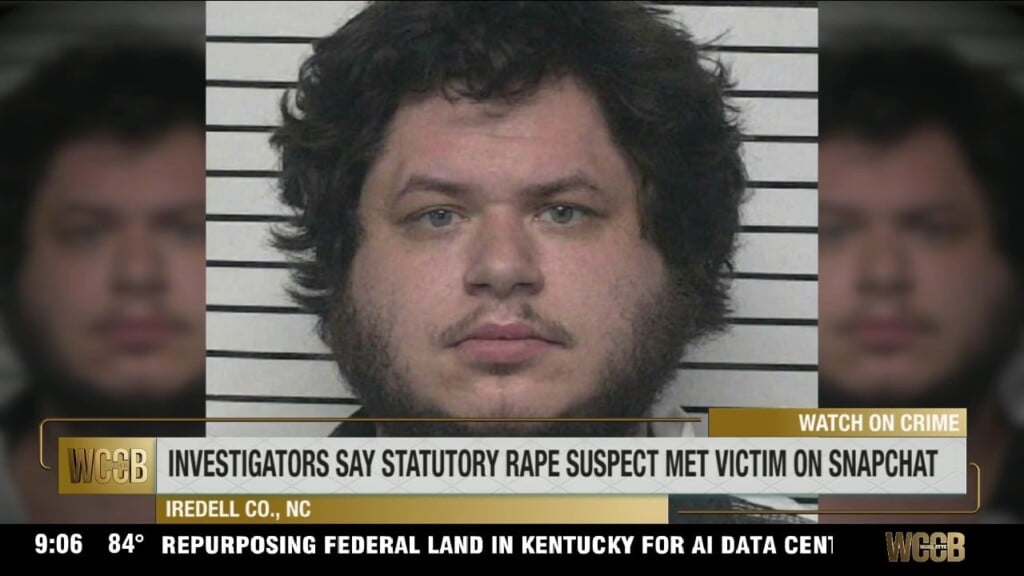
An Iredell County man is charged with the statutory rape of a child he allegedly met on Snapchat.
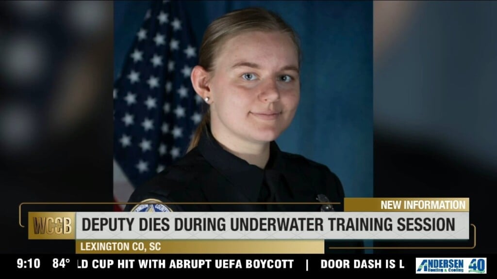
A Lexington County deputy has died during an underwater training session on Lake Murray.
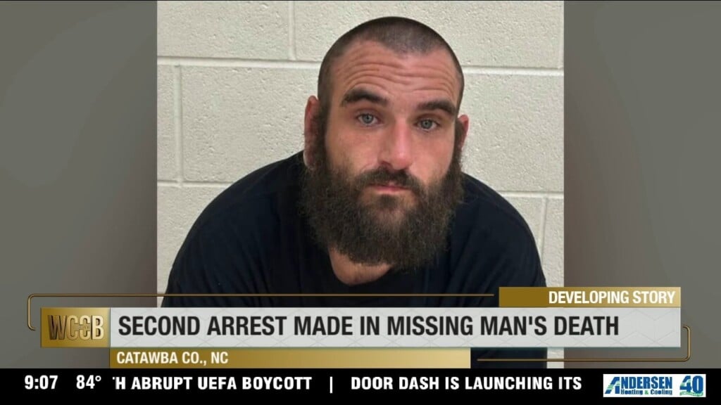
A second suspect is behind bars for the murder of a Brookford man.

 Formerly Twitter