Winter Storm Update From WCCB’s Chief Meteorologist Reg Taylor
[gtxvideo vid=”HNJDl0aH” playlist=”” pid=”Bbt3TRDe” thumb=”http://player.gtxcel.com/thumbs/HNJDl0aH.jpg” vtitle=”Wx-Winter Storm”]
CHARLOTTE, N.C. — A winter storm warning is in effect for the Charlotte area until 7am Tuesday.
WCCB’s Chief Meteorologist Reg Taylor says the best opportunity for freezing rain will be from 7pm Monday night until 3am Tuesday morning.
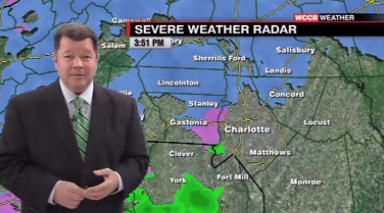
Click HERE to see WCCB’s interactive radar.
Charlotte could see .25 to .50 an inch of ice. This amount of ice could bring down power lines and trees.
Duke Energy says they are expecting power outages due to ice. Out of state crews are on standby and will move to our area if outages become an issue.
The Charlotte Department of Transportation says they are finished treating roads and sidewalks. CDOT has 32 trucks loaded with salt and calcium chloride that will continue to work through the night.
CDOT says road temperatures are expected to be in the 31 to 32 degree range so icing is expected. Please use extreme caution when driving on roads.


