Scorching Heat into Heart of August
Pop-up storms will provide scant relief from the torrid temperatures before a cold front flushes them out.
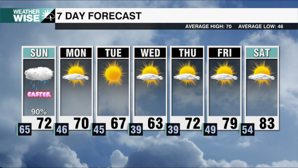
Cooler air may have won the battle through the second half of the workweek, but scorching summer temperatures will win the war through the weekend. Expect highs to soar into the mid-90s around the Piedmont and Foothills on Sunday and Monday, while the High Country reaches the mid-80s. Heat index values in the Metro and southward will approach 105° over the next three afternoons. Pop-up isolated storms will do what they can to cool Mother Nature’s hot temper, but most, especially east of the Queen City, will have little relief from the heat.
Our fortunes begin to change by the second day of the workweek ahead. While Tuesday afternoon will see more stifling heat and humidity, an incoming cold front will bring cooler and drier air into Wednesday. Just like this past week, the back half of the next seven days ahead look sunny, cooler, and mainly dry, with highs in the 70s and 80s. More above-average highs, humidity, and storms return by next weekend.
Tonight: Variable clouds. Low: 72°. Wind: SW 5-10.
Sunday: Mostly sunny with a few storms in the afternoon. High: 95°. Wind: W 5-10.
Sunday Night: Partly cloudy. Stray storm? Low: 74°. Wind: Light.
Monday: Another hot one with a few PM storms. High: 95°. Wind: SW 5-15.


