Rain Chances Rise Into August’s Final Week
Regardless of the incoming tropical system's track, most communities in our area can expect at least two inches of rain through next week.
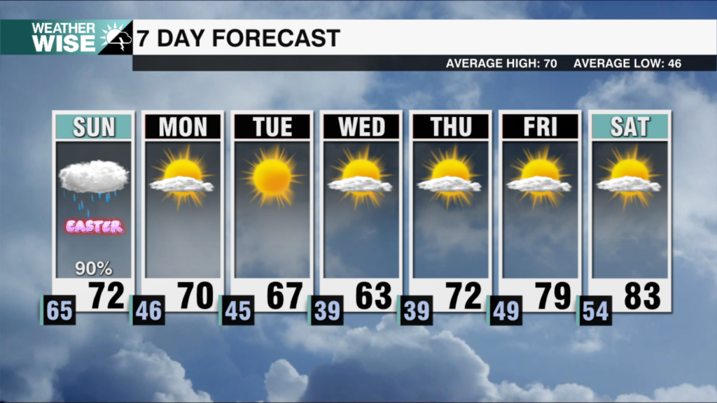
With a high of 97º, this Saturday afternoon has been the year’s hottest so far. The heat runs out of real estate soon, however, as a series of rainmaking systems pummel the Carolinas this coming week. Expect showers and storms to come into play by Sunday afternoon, becoming more numerous into the evening before tapering off overnight. As the incoming front stalls just to our south, rain chances will remain on the higher side through the first two days of the workweek. While storm probabilities shoot up, temperatures will only slide downward throughout the week ahead.
Some tropical trouble may also be in our near future. Invest 93L, a fledgling area of low pressure in the northwest Caribbean, will likely become Tropical Storm Idalia within the next 48 hours. Future Idalia will trek northward into the warm-water-rich eastern Gulf of Mexico over the next couple of days, gaining strength as it approaches Florida. 93L’s future track and strength are uncertain, but probabilities are rising that we’ll see *some* sort of impact from the storm in the Carolinas. Regardless, most communities in the WCCB Charlotte viewing area can safely expect at least 1-2″ of rain through the next seven days.
Tonight: A few storms early, then partly cloudy overnight. Low: 67°. Wind: Light.
Sunday: Hot and humid with PM scattered storms. High: 92°. Wind: Light.
Sunday Night: Storms taper off overnight. Low: 70°. Wind: Light.
Monday: Scattered storms throughout the day. Cooler. High: 96°. Wind: W 5-10.


