Drying & Warming Into Weekend
Outside of a stray shower Sunday night, the weekend looks completely dry.
The first day of March is underway, which means we’re officially into meteorological spring, but someone forgot to give winter the memo. A chilly rain is sweeping the the Piedmont this Friday afternoon as a wet wintry mix continues to fall in the High Country. Expect showers, heavy at times, to continue through the evening before clearing arrives by sunrise on Saturday. Highs will quickly rebound into the 50s and 60s through the first half of the weekend as sunshine will peek through mostly cloudy skies. The warming trend will carry into Sunday despite northeasterly winds.
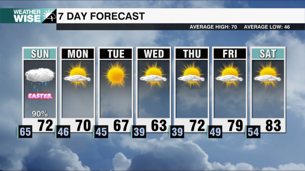
A stray shower is possible as we close out the weekend, but the WCCB Charlotte viewing area should largely remain dry through the start of the workweek. Temperatures will likely approach 70° around the Metro and southward both Monday and Tuesday afternoons before a rainmaking system arrives by Wednesday morning. Despite the passage of a cold front midweek, temperatures will remain well above average into next weekend.
Tonight: Rain early. Drying late. Low: 43°. Wind: NE 5-10.
Saturday: Mostly cloudy. Much warmer. High: 64°. Wind: N 5-10.
Saturday Night: Clouds remain. Mild. Low: 52°. Wind: Light.
Sunday: Variable clouds. Stray shower late? High: 67°. Wind: NE 5-10.


