Wet Week Ahead
It won't come all at once, but most communities should see anywhere between 2-4" of rain through next weekend.
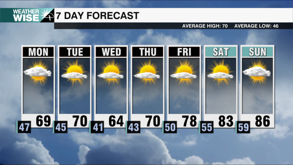
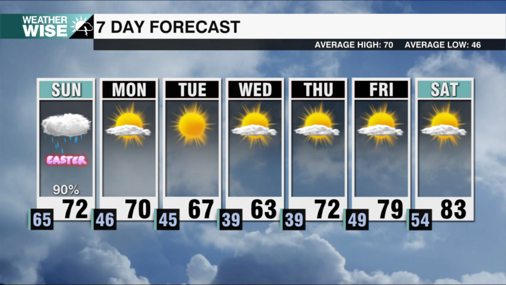
We’re heading into a new week, but the forecast is showing the same thing: heat and humidity with a side of afternoon storms. Highs will cruise into the upper 80s and lower 90s to kick off the workweek across the Piedmont and Foothills on Monday before scattered storms cool us down later in the day. The heat may crank up a step further on Tuesday and Wednesday, but increasing afternoon rain chances will quickly cut down any gains. If you’re tired of the heat these dog days of summer bring, there’s some good news for you as we move into the back half of the workweek.
The front that’s been stalled over the Southeast for the better part of the past week will finally sharply lift to the north, opening the floodgates for even more Gulf moisture to push into the Carolinas. Widespread rain looks likely across the WCCB Charlotte viewing area on Thursday and Friday; while it may not be a washout, it’s certainly trending in that direction. The increased rain and cloud coverage will also have a profound effect on temperatures as highs struggle to clear the 70s across the board to close out the workweek. The unsettled pattern appears poised to carry into next weekend, as well. Most communities will see anywhere between 2-4″ of rain over the next seven days.
Tonight: Scattered storms becoming more isolated overnight. Low: 72°. Wind: Light.
Monday: Partly sunny. Steamy with afternoon storms. High: 87°. Wind: SW 5-10.
Monday Night: Scattered storms early, then clearing late. Low: 72°. Wind: SW 5-10.
Tuesday: Hot and humid with PM scattered storms. High: 89°. Wind: SW 5-10.


