Hot. It’s hot.
The hottest day of the year arrives on Wednesday - and it may get even hotter this weekend.
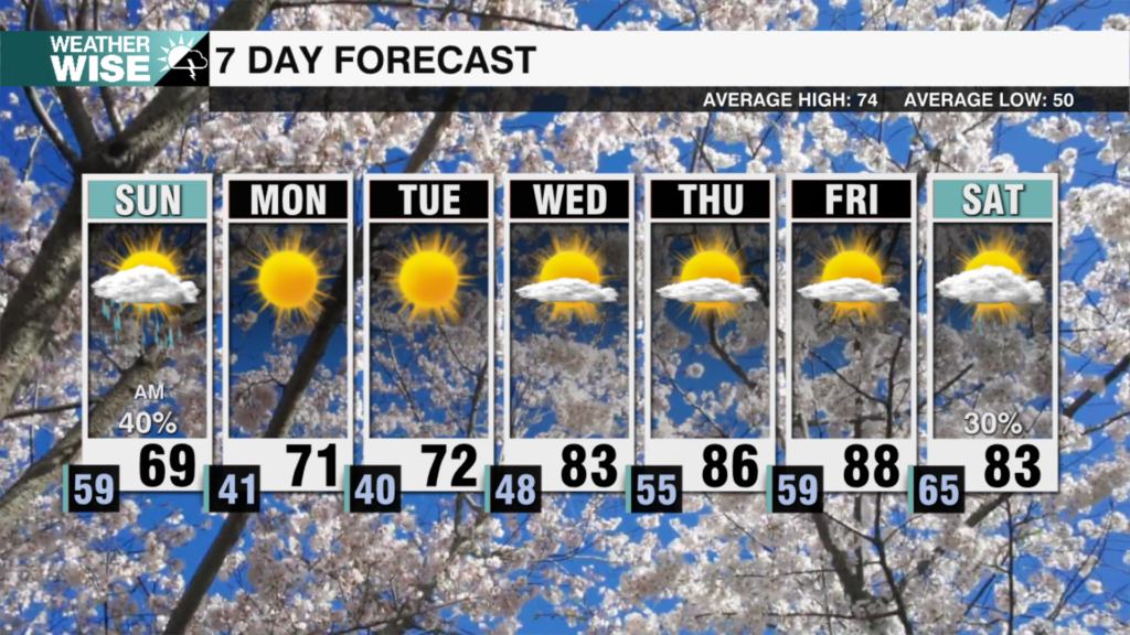
Another hot one is underway this Tuesday afternoon across the WCCB Charlotte viewing area as the Queen City cracked 90° for only second time so far in 2025. The mercury only rises higher into our Hump Day; temperatures soar into the mid-to-lower 90s across the Piedmont and Foothills on Wednesday, aided by southwesterly winds and plentiful sunshine. Short-range models keep most of the Carolinas dry, although a few storms may fire up in the mountains and Foothills later in the day.
Our next significant system arrives on Thursday as a cold front slices through the Carolinas from the northwest. Scattered storms will find their way into our area by Thursday evening, but most of the moisture will stay on the western side of the Appalachians. That said, any cells that get going may produce gusty winds and localized torrential rainfall. Slightly drier air filters in behind the front, but don’t expect any relief from the heat. Highs will soar into the mid-to-upper 90s by the end of the weekend as a powerful ridge of high pressure dominates the Southeast.
Tonight: A stray storm early, then mostly clear. Low: 73°. Wind: SW 5-10.
Wednesday: Mostly sunny. Hot with a stray storm. High: 93°. Wind: SW 10-20. Gusts: 25+
Wednesday Night: Another muggy night. Low: 75°. Wind: SW 5-10.
Thursday: AM mostly sunny. PM scattered storms. High: 91°. Wind: SW 10-20. Gusts: 25+


