Cool start with a gorgeous Friday in store
Fantastic finish to the week
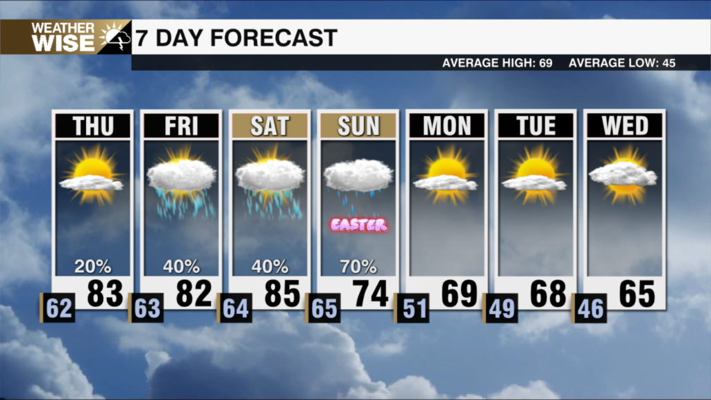
Happy Friday Eve!!! Not much has changed tonight as clear skies will dominate our skies but it will be on the chiller side. Overnight lows across the region will stay in the mid to upper 40s.
The blocking pattern will start to break down overnight and into Friday and slowly moves east. High pressure stays overhead and locked over the eastern U.S. for the next couple of days. Expect highs in the lower 70s Friday, with overnight lows dropping into the 40s and 50s.
From Friday night through Saturday, a weak surface high will slowly slide off the Eastern Seaboard. A cold front moves across the central U.S. by Saturday evening. A little moisture will try to sneak in from the southwest ahead of the front, but the dry air overhead will make it tough for much to develop.
By Sunday, the cold front reaches the NC/TN border Sunday morning. That’s where we’ll see the best chance for rainfall. A band of moisture will weaken and shift east off the Blue Ridge by Sunday afternoon because there just isn’t a lot of moisture to work with.
The front should fully pass through by Sunday night, bringing in drier air and clearing skies overnight.
Friday: Sunny and cool. High: 73°. Wind: Light.
Friday Night: Clouds build. A bit milder. Low: 53°. Wind: S 5-10.
Saturday: Early morning clouds turning mostly sunny. High: 80°. Wind: SW 5-15
Saturday night: Mostly clear with lows in the upper 40s