Hurricane Isaias Now A Cat 3 Hurricane
Rain makes its way into the Carolina's Saturday afternoon
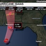
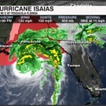
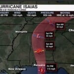
Isaias has moved over warmer water and into an area with less wind shear. That change has helped the storm strengthen into a Category 3 major hurricane. The latest forecast from the National Hurricane Center indicates Isaias could maintain major hurricane strength at landfall early Saturday morning.
The current forecast favors a landfall along the northern Gulf Coast, most likely somewhere near Dustin beach or Pensacola, Florida.
Along the Gulf Coast, the biggest dangers will be powerful winds and storm surge, which can force seawater onto normally dry land and cause dangerous coastal flooding. Heavy rainfall could also lead to flooding, while rough surf and coastal erosion. Tornadoes are another concern as bands of thunderstorms move through the region.
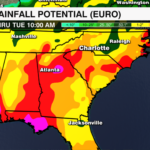
Even after Isaias moves inland and begins to weaken, the rainfall threat won’t disappear right away. Tropical downpours could continue across parts of the Southeast throughout the weekend, bringing the potential for flooding well beyond the immediate coastline.

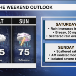
Friday is our last quiet day before the weather pattern changes across the Carolinas. Clouds will gradually increase, with afternoon temperatures reaching the upper 70s. The bigger changes arrive Saturday as tropical moisture spreads into the region, bringing periods of rain and the potential of significant downpours.
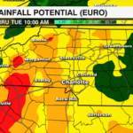
Saturday: Rain will begin moving into the area early Saturday morning, with heavier rainfall becoming more likely during the afternoon and continuing into the evening. The mountains are expected to see the greatest impact, particularly along the Blue Ridge Escarpment and southeast-facing mountain slopes. Some of those locations could receive 4 to 6 inches of rain, creating a risk for flash flooding near creeks, streams and other flood-prone areas.
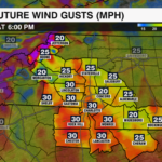
Around Charlotte, rainfall totals are expected to be closer to 1-2 inches. That additional moisture could provide some relief from ongoing drought, but localized flooding remains possible. The mountains will also have to contend with gusty winds. Above 3,500 feet, gusts of 35 to 55 mph are possible, with some of the highest peaks potentially seeing gusts exceed 60 mph. I am forecasting a high potential for isolated power outages. Also I’m expecting NWS to issue a High Wind Advisory.
Sunday: The window we’re watching most closely for heavy rain and flooding is Saturday night into Sunday morning. The heaviest rainfall should favor the mountains, where runoff could cause water levels to rise quickly in creeks and streams.
By Sunday afternoon, the tropical system should begin moving away, allowing the rain to become more scattered. However, we could still see a few thunderstorms develop across the Piedmont, including the Metro, as some instability returns. The overall severe weather threat appears low, but an isolated damaging wind gust or brief tornado cannot be ruled out.
By Sunday night things will quiet down! Stay tuned