Hurricane Helene Local Impacts
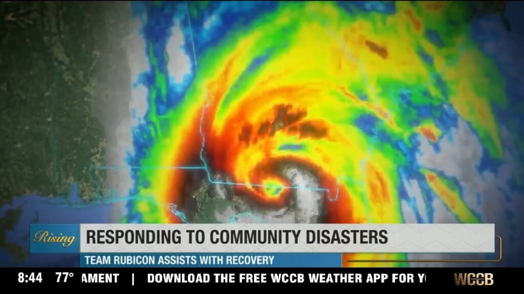
Hurricane Helene is forecast to intensify into a major category 4 hurricane before landfall in the Big Bend region of Florida Thursday. It will bring peak impacts of heavy rain, flash flooding and isolated tornadoes to the Carolinas Thursday night through Friday morning.
AM Headlines:
- Hurricane Helene Intensifies
- Tropical Storm Warnings
- Flash Flood Watches
- Severe Threat
Discussion:
As of the 2am update from the NHC, Helene remains a category 1 hurricane. It will intensify rapidly today into a major category 4 hurricane before making landfall on the big bend region of Florida this evening. Flash flood watches and tropical storm warnings are in effect for most of the region.
McDowell County has reported several water rescues already in the mountains. There were multiple severe warned storms with rotating cells last night. Two potential tornadoes in Watauga county. NOTE tropical tornadoes are usually very short lived — and disappear before warnings can even be issued.
There are ongoing flood warnings and advisories in the high country and foothills and with a threat of isolated tornadoes this morning. Peak impacts will begin this evening across the region with heavy rain, flash flooding, damaging wind gusts and tornadoes all possible threats.
Hazards & Peak Impacts
Heavy Rain & FloodingSignificant concern for the region. Flash Flooding, Landslides and Major River Flooding post HeleneMountain Counties – 6-10″ on top of the 2-4″ that has already fallen…10-18″ total for some areas VERY POSSIBLELandslides are a BIG concern especially with 10″+ of rainfallWest of I-77 to Foothills -3-6″East of I-77 – 1-3″ of rainStrong Winds (Peak Impacts Thursday PM – Friday Afternoon)
45-60 mph gusts, especially in the higher elevationsExpect numerous trees downPower Outages
Dangerous driving conditions
Tornadoes (Peak Late Thursday Night – Early Friday AM)
Outer rain bands will have embedded tornadoesSouthern section of region, near and South of I-85
These are usually rain-wrapped, quick spin ups making them difficult to see
Conditions will begin to improve from south to north Friday afternoon with sunshine returning Saturday. However, river flooding will be ongoing through the weekend.