Severe thunderstorm watch likely, as threat of downbursts increases
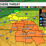
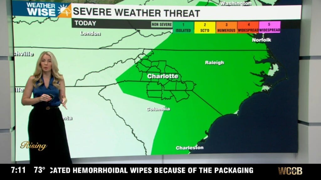
The ingredients are coming together for a dangerous afternoon across the Carolinas. The Storm Prediction Center has upgraded much of the region to an Enhanced Risk (Level 3 of 5) and now places an 80% chance of a Severe Thunderstorm Watch being issued this afternoon.

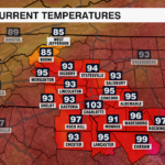
The biggest concern? Damaging wind gusts from microbursts, along with the potential for isolated large hail and oppressive heat fueling these storms.
A Volatile & Unusual Setup
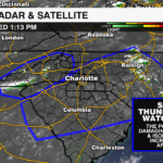
A TUTT (Tropical Upper Tropospheric Trough) spinning off the Southeast coast is pulling in deep tropical moisture and will guide the movement of these storms from the northeast to the southwest. Storms will likely ignite near subtle surface boundaries and likely spread into clusters.

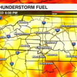
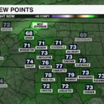
At the same time, the environment is primed for severe weather development. Dew points are well into the 70s with high instability and cooler air aloft that will prime the environment for explosive storms.
Microbursts Pose a Serious Risk
Today’s storms won’t be rotating, but they don’t need to be. This environment favors microbursts, or sudden surges of cold air that crash down from a storm and spread out at high speed. These bursts can produce 60 to 70 mph wind gusts knocking down trees, damaging roofs, and cutting power.
Expect fast-developing clusters, brief bowing segments, and cold-pool-driven storm motion with highly localized but significant impacts.
Biggest Threats
- Damaging Wind: Up to 70 mph likely in strongest cells
- Hail: Isolated up to 1.75” possible
- Localized Flooding: Especially with slow-moving or training storms
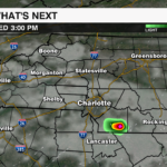
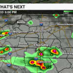
Timing
- 2–4 PM: Initial scattered development
- 4–8 PM: Peak severe window for the Piedmont
- After 8 PM: Outflow driven gusts may linger as storms weaken
Get the latest information on today’s severe threat by downloading the WCCB Weather App.