Fantastic fall-like stretch carries through midweek
Many communities will wake up to the coolest air we've seen in nearly four months over the next two mornings.
August appears poised to end the same way it began – with below-average temperatures. It took its time getting here, but cooler and drier air is finally cascading into the Carolinas from the north on the backside of this weekend’s cold front, pushing highs 5-10° below average through the next three days. Highs will struggle to clear 80° across the Piedmont and Foothills while the High Country may not make it out of the 60s between Tuesday and Thursday. Many communities will wake up to the coolest air we’ve seen in nearly four months as lows dip into the 50s around the Metro to start off Wednesday and Thursday. The High Country may see the 40s within this timeframe, as well.
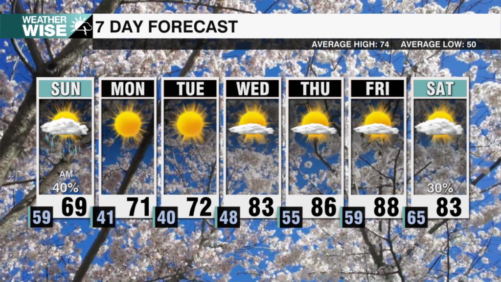
Southerly winds return by Thursday, which will eventually fuel a warm-up back into near-average territory as highs surge back into the mid-80s across the Piedmont and Foothills on Friday and Saturday. A few rain chances may float into southern reaches of the WCCB Charlotte viewing area on Friday as another cold front pushes through, but most locations remain dry through the workweek. Medium-range models are also picking up on a few stray showers on Sunday as highs hover around the lower 80s in the Queen City.
Today: Variable clouds. High: 80°. Wind: N 5-10.
Tonight: Partly cloudy. Cool and comfy. Low: 61°. Wind: N 5-10.
Wednesday: Plentiful sunshine. High: 80°. Wind: NE 5-15.
Wednesday Night: Mostly clear early, becoming partly cloudy late. Low: 59°. Wind: Light..
Thursday: Clouds build. High: 80°. Wind: S 5-10.


