Tropical Disturbance Could Bring Heavy Rain Back into the Region
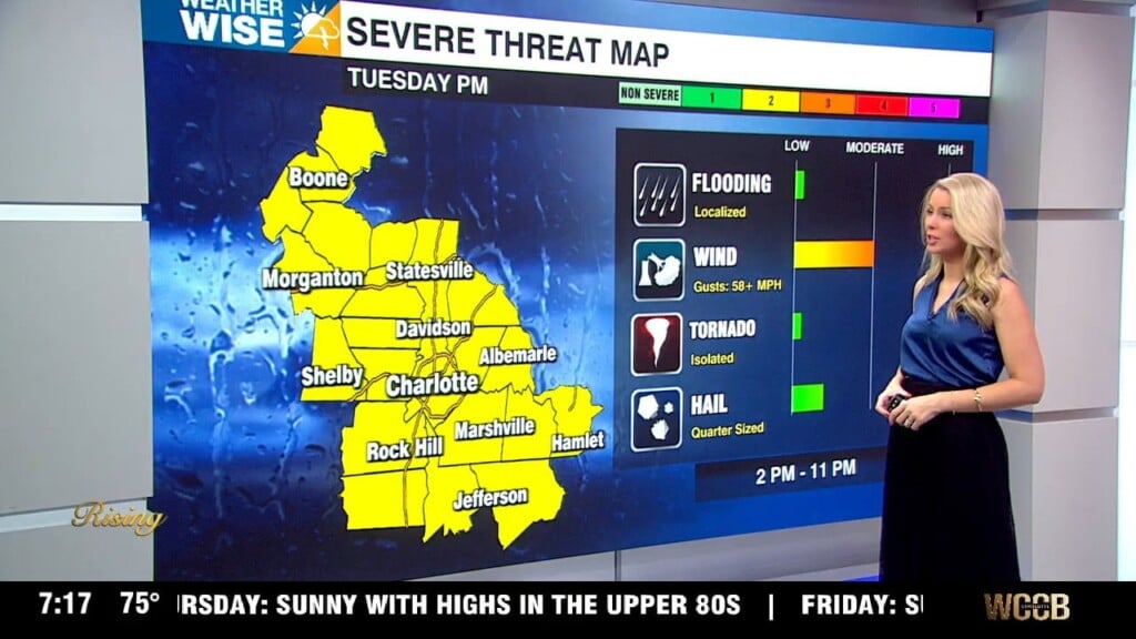
Today will bring more clouds and a chance for a few showers. Rain chances increasing from a tropical disturbance that is currently located over Florida. This system doesn’t have a good shot at organizing to become our next named tropical storm of the season, however, expect a high rip current risk-off the Carolina coast and heavy rain will lead to an increased flooding threat across the WCCB Viewing Area. With several inches of rain from last week’s storms it won’t take much to cause flooding, but 2-3″+ could cause many worries for not just a flash flooding risk, but also a rise on river levels that have finally receded. Temps will remain below average today and tomorrow with highs reaching the mid to upper 70s. The tropical air mass later in the week will leave a soupy feel with highs reaching the low 80s.
Today: Spotty PM Shower. High: 77 Wind: E 5-10 mph
Tonight: Chance Showers. Low: 65 Wind: NE 6-8 mph
Wed: Rain. High: 74 Wind: NE 10-12; G20
Wed PM: Showers/Storm. Low: 66 Wind: NE 5-7 mph