Cool Start To The Work Week
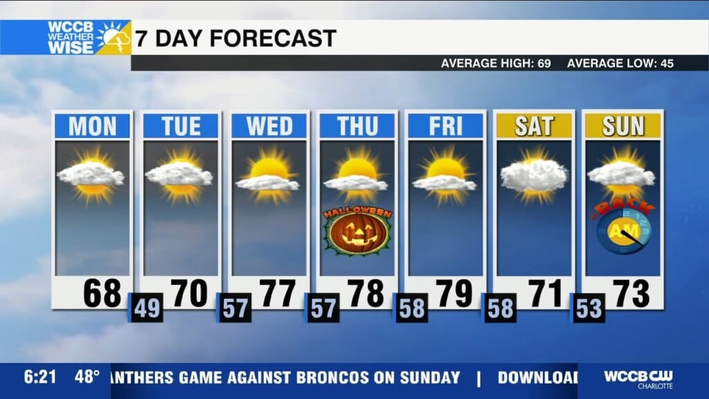
Cool start to the week with highs in the upper 60s to near 70 Monday afternoon. Temps will warm well above average by mid to late week.

Cool start to the week with highs in the upper 60s to near 70 Monday afternoon. Temps will warm well above average by mid to late week.
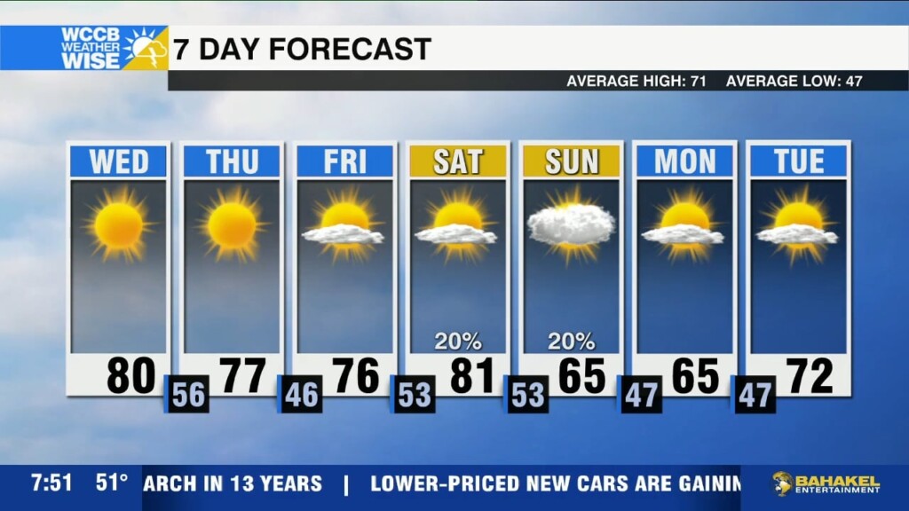
Weak cold front will cross the region later today, but temperatures remain above average through the start of the weekend with highs near 80.
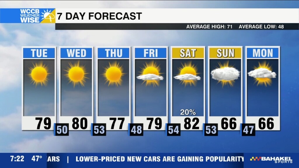
Warm and dry through Saturday with highs near 80, before a strong cold front brings in a cooler Fall pattern late in the weekend.
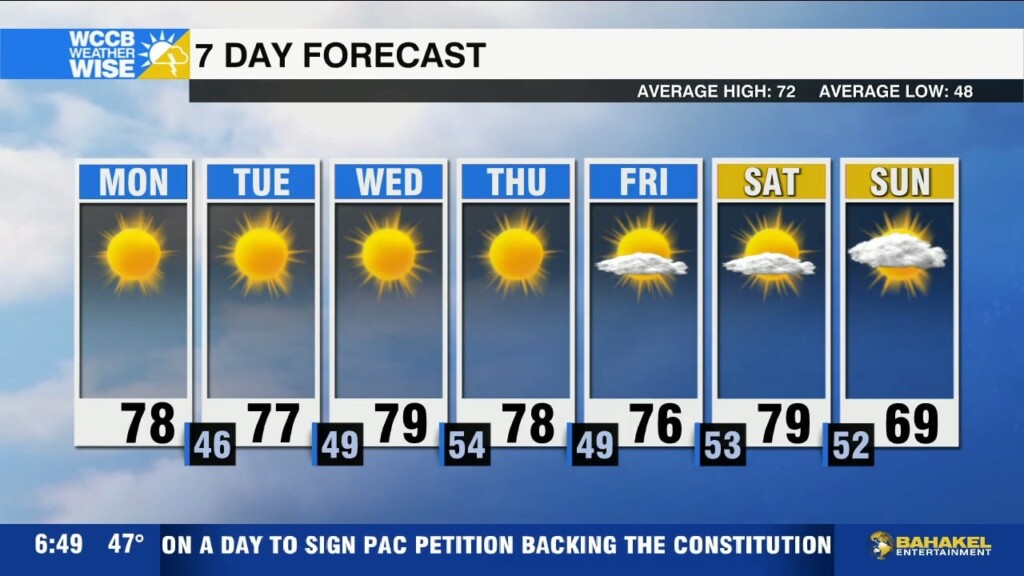
Sunny and dry all week with a gradual warm up. Highs will reach the mid to upper 70s Monday with lows falling into the mid 40s.

Wine-to-Water, a Boone based non-profit will give water filters to every family in Banner Elk Friday as town is still left without running water as crews work to repair damaged sewer mains at water treatment facility after Tropical Storm Helene.
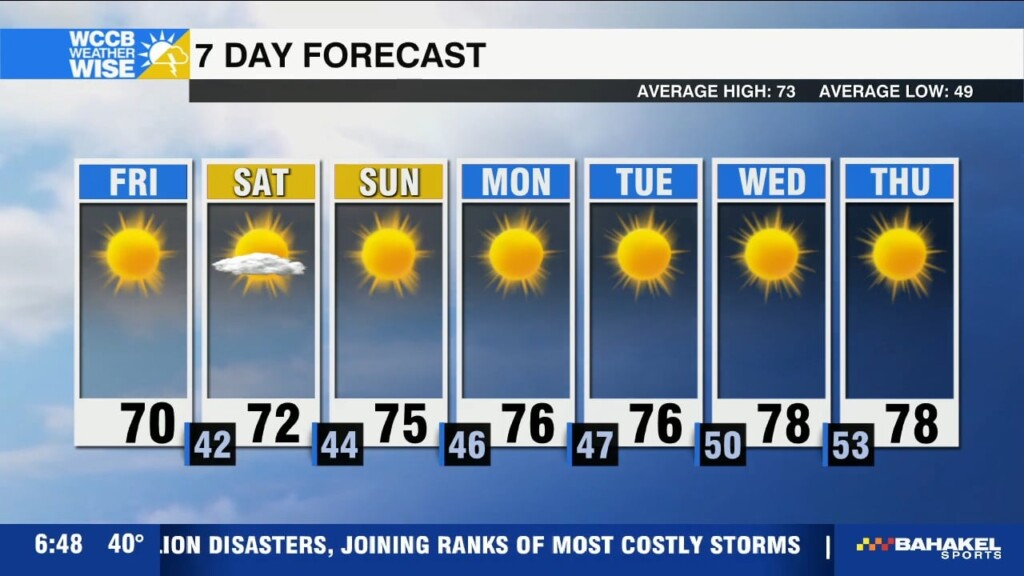
Temperatures are in the 30s and 40s across the region Friday morning, but a warming trend is under way with seasonable highs in the 60s and 70s returning this weekend.
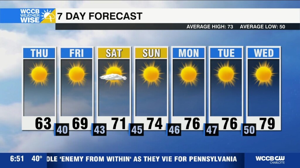
Cool and dry again today with highs in the low 60s. Patchy frost possible again tonight as temps dip into the 30s and 40s. Warming up this weekend.
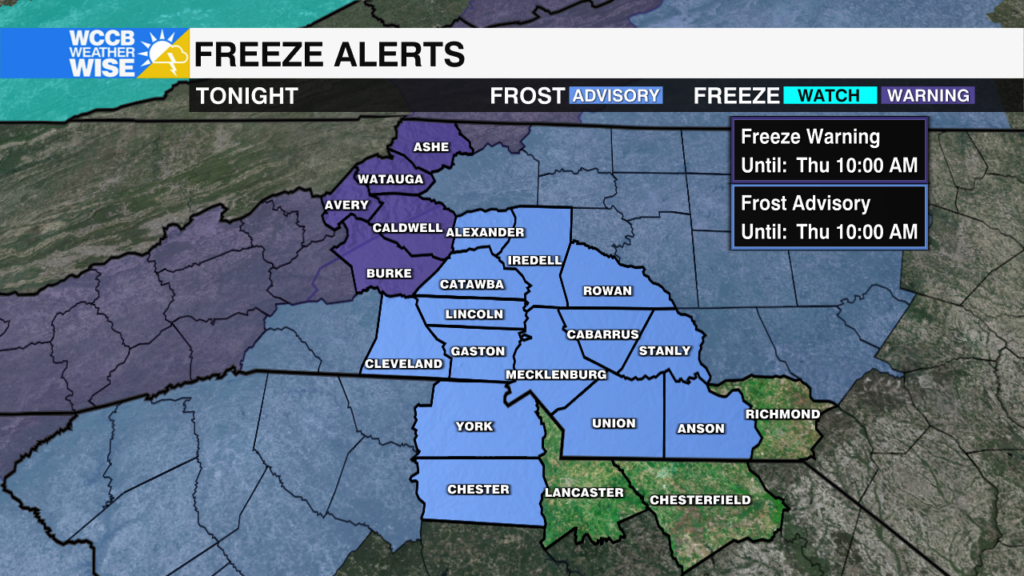
Prepare for temperatures to plummet into the 20s and 30s across the region Wednesday night. Here is how cold it will get and links to information for open shelters for those impacted and without power from Tropical Storm Helene
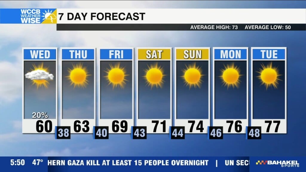
Cool and breezy today with highs only reaching the low 60s. Frost Advisories and Freeze Warnings in effect tonight as temps plummet into the 20s and 30s.
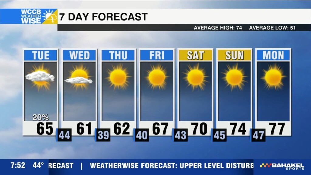
Upper level disturbance drops in even chillier temperatures with highs in the low to mid 60s and lows falling into the 30s and 40s tonight. Freeze warning in effect from 2am until 10am for Ashe and Watauga Counties Wednesday where temps will fall near and below 32 degrees.
 Formerly Twitter