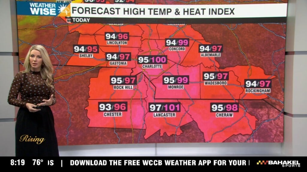
Isolated severe storms Friday with intense heat
Hot and humid, plus a storm threat Friday. Temperatures cool down by midweek next week.
Hot and humid, plus a storm threat Friday. Temperatures cool down by midweek next week.
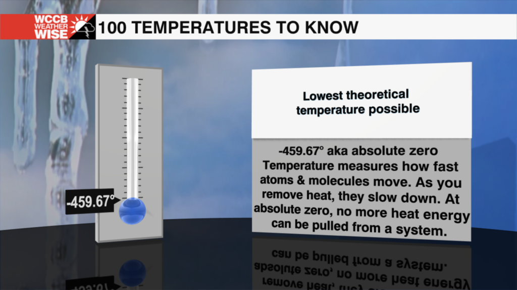
It's just a number, or is it? Every temperature has a story. Some mark important moments in nature, others reveal incredible science, and a few might surprise you. In "100 Temperatures to Know," we'll take one temperature at a time and uncover what makes it worth remembering.
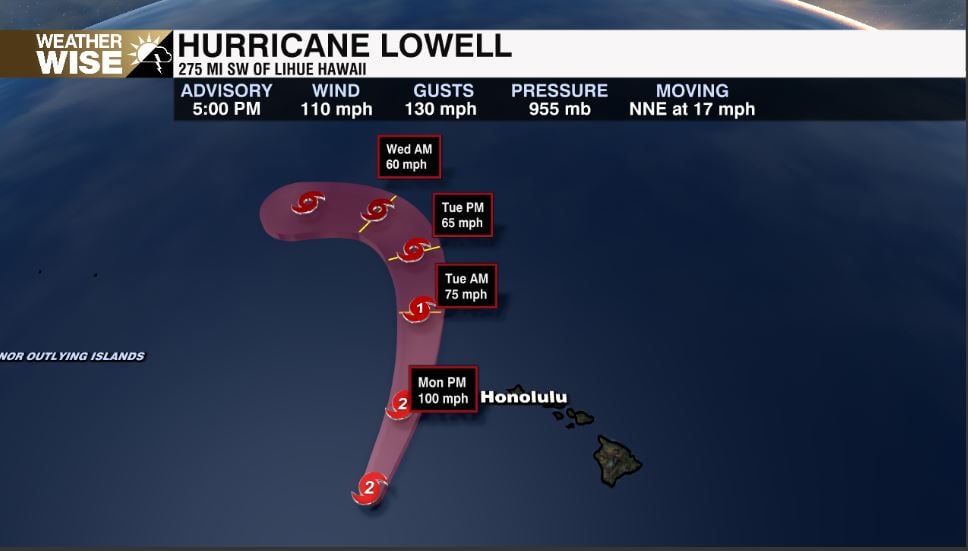
The Category 2 hurricane is already bringing heavy moisture into the region, with downpours triggering flash flooding on Oahu. Powerful waves continue to crash along south-facing beaches and shorelines.

The very disease that has decimated millions of American elms in the U.S. is now being used to bring the iconic trees back.
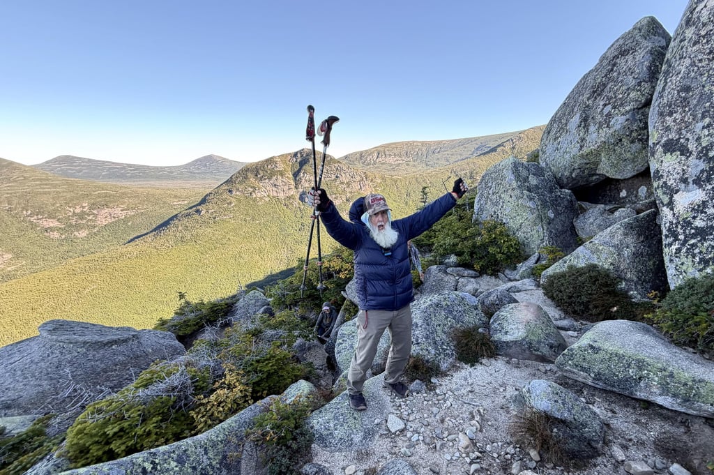
A 91-year-old man who goes by the nickname Grey Beard has reclaimed his record as the oldest hiker to complete the Appalachian Trail.
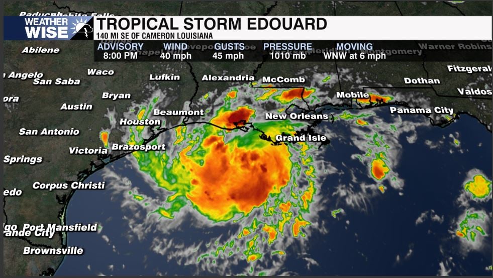
Tropical storm warnings are in effect for parts of Texas and southwestern Louisiana coasts.
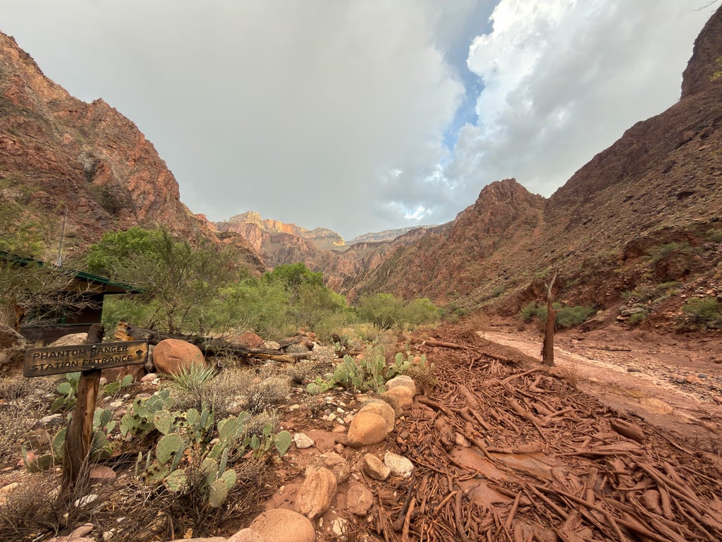
Rescue crews looking for missing people have found at least two bodies since a flash flood swept through the Grand Canyon, and forecasters are warning that more flooding is possible. Saturday’s flash flood severely damaged the only water pipeline into the canyon.
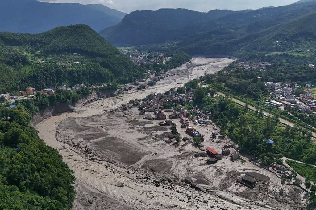
Mount Kailash in Tibet is sacred to several religious traditions and draws pilgrims from many places. People missing in the flooding that occurred Wednesday after a glacier collapse along the Nepal-China border included Indian nationals on pilgrimage to Mount Kailash.

Nepal’s disaster management authority said the number of people reported missing after a flash flood along the Himalayan border between Nepal and China has doubled to 1,924. The update on Friday came as rescuers worked through mud and debris in areas devastated by Wednesday's disaster.