WCCB Weather

Latest Forecast

Isolated severe storms tonight with Flash Flooding concern

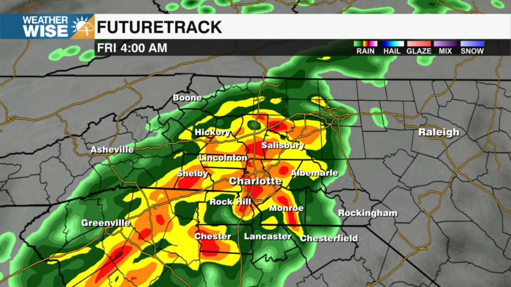
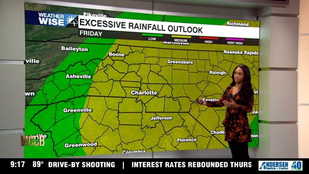
Tonight we’re still dealing with plenty of heat and humidity this evening, but a few thunderstorms will pop up late evening. Most of us will stay dry, so don’t expect widespread rain. If you happen to catch one of those storms, though, you could get a quick heavy downpour, gusty winds and frequent lightning. Temperatures will stay warm overnight, only dropping into the low to mid 70s. A level 2 out of 5 for severe storms will stay in place into tomorrow morning. By Friday, the weather pattern gets much more active. A front pushing down from the north will run into all that warm, humid air sitting across the region, and that’s a recipe for more widespread showers and thunderstorms. 

WCCB Weather Radar

Track storms live.

Current Conditions

Hourly Forecast

Extended Forecast

100-Degree Heat Builds Across Charlotte This Week

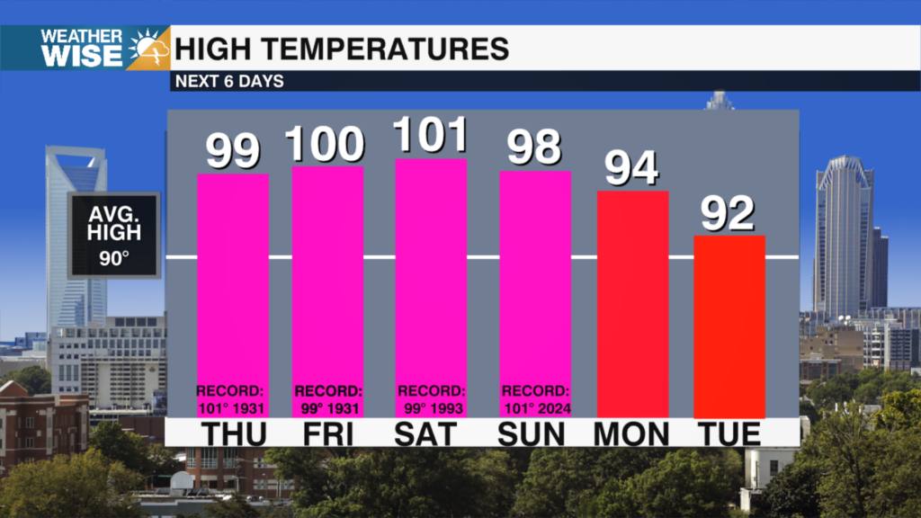
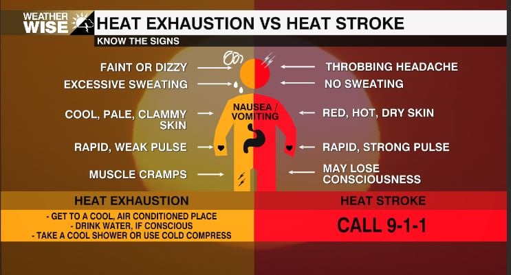
​The big story for the second half of the week is the heat. A strong ridge of high pressure will park itself over the Southeast beginning Wednesday, acting like a lid on the atmosphere and allowing the heat to build for multiple days. Afternoon temperatures will climb into the upper 90s to around 100 degrees through the holiday weekend, with Thursday, Friday, and Saturday coming very close to record highs. Add in the humidity, and it'll feel even hotter outside, so if you have holiday plans, be sure to take the heat seriously.

Severe Weather

1 active weather alert
View Alert Details »

WCCB Weather Team

Contests

𝕏

X Wccbcharlotte Follow 370x70 Formerly Twitter