Flash Flood Watch through Thursday
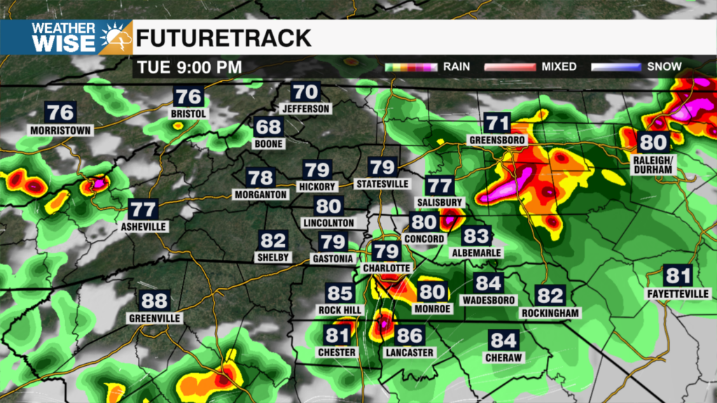
It will be a very soggy few days with showers and storms impacting the Wednesday morning commute. Flood and Flash Flood Watches are in effect with rainfall totals 2-3″+ likely for the region. We’ll catch a lull in the wet weather through the afternoon, but another round of rain and storms will likely bring some flooding if it doesn’t happen with this first round this morning. A few storms possible midday, but severe threat looks to be limited to flooding. Rain will continue through Thursday with well above average temps in the mid to upper 70s for daytime highs and lows only falling into the upper 60s. Eta is now projected to make landfall further east to the north of Tampa tomorrow, which means drier and cooler air for the weekend. Highs will reach the mid 60s Saturday with just a chance shower Sunday.
Today: Rain and Storms. High: 77 Wind: S 6-8 mph
Tonight: Rain. Low: 67 Wind: SW 5-7 mph
Thu: Rain & Storms. High: 72 Wind: N 5 mph
Thu PM: Showers. Low: 58 Wind: NE 5 mph