Flash Flood Threat Increasing for Tomorrow Evening
Slow moving storms could lead to some areas seeing a quarter of inch while others get 1-2" of rain
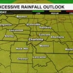
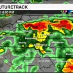
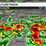

The biggest concern is not necessarily severe weather, it’s how much rain could fall and how quickly it could come down.
The Weather Prediction Center has placed our area under a Level 2 of 4 risk for excessive rainfall tomorrow, which means there is a marginal-to-elevated concern for flash flooding, especially in areas that see repeated rounds of heavy rain.
Timing: Tomorrow evening 5pm-11pm
Some storms could sit over the same locations or move over areas that have already picked up rain. That’s when things can get tricky.
A quick 1-3 inches of rain in a short period of time can overwhelm drainage systems, and low-lying areas. Rainfall totals will be widespread with some spots picking up a quarter of an inch while others seeing 1-3″ of rain.
What we are watching
Friday evening through the overnight hours will be the period we are watching closely.
Widespread delays and possible cancellations are possible. Most importantly, never drive through a flooded roadway. Turn around, don’t drown. Water can rise quickly, and it can be extremely difficult to tell how deep that water actually is.
The good news? This isn’t a washout for the entire day. We should still have some dry time, especially earlier in the day.
Stay tuned!