Record heat Thursday with a much colder weekend ahead
Strong cold front moves through Friday evening
Forecast:
Thursday: Sunny. Highs back in the upper 80s, 90 for some.
Friday: Sunny. Highs in the mid to upper 80s. Breezy with wind gusts up to 25 mph. Strong cold front moves through in the evening. Scattered showers are likely in the mountains, but I don’t think many of them make it to the Piedmont. I will say isolated for the Piedmont.
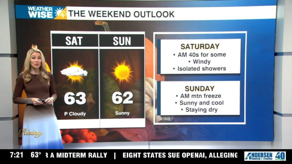
Saturday: Much cooler. Highs will be in the low 60s. Windy with gusts up to 30 mph. This forecast is very up in the air right now. The last couple of days have showed a dry weekend. As of this morning, a coastal low could bring rain across the Carolina’s. Confidence is low, but something to watch.
Sunday: The coldest air of the season with lows near freezing across the mountains and in the low 40s across the Piedmont.
Highs in the low 60s. Watching the model trends of a coastal low.
Monday: Sunny and dry. Highs in the mid 60s.
Have a great day!
Kaitlin