Frigid Air Dominates Friday
— Winter Weather Advisory is in effect until 7 AM Friday for Ashe and Watauga counties.
— Winter Storm Warning is in effect for Avery county until 7 AM Friday.
– Forecast snow totals for those below 3,500 feet are 1-3”. Locations above 3,500 feet could see up to 4”.
— Wind Chill Advisory in effect from 4 AM – 1 PM for Ashe, Watauga and Avery counties.
– The mountains will see low temperatures in the single digits Friday morning. With wind gusts as high as 40 mph wind chill values below zero. As low as 15 below!
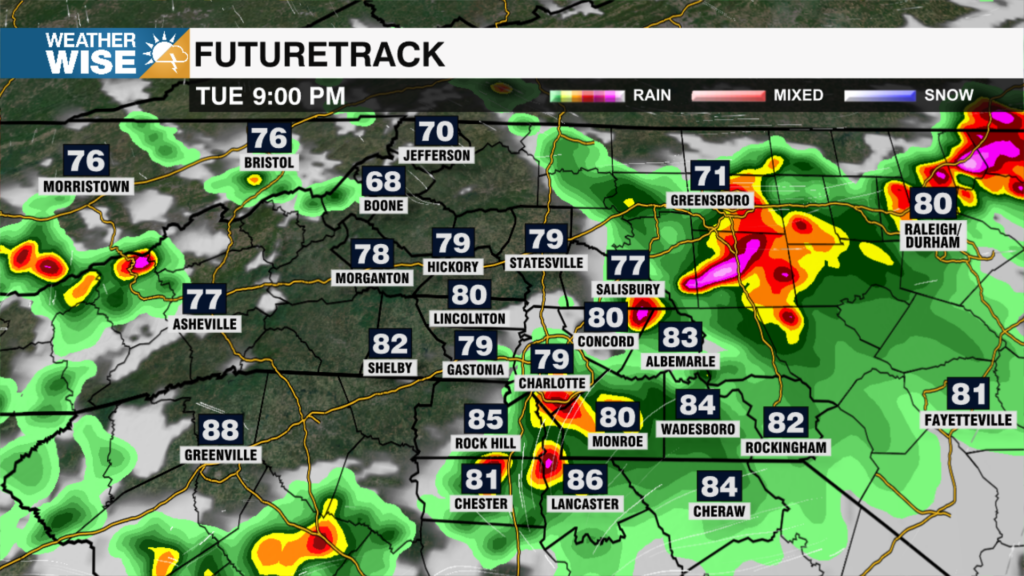
Clouds continue to increase with moisture entering the WCCB Charlotte area from the west. A system will increase rain coverage through Thursday evening with frigid air building in on the back side. This system is fast-moving and will bring 1-3 inches of snow across the Mountains with higher tops receiving around 4” with isolated higher amounts possible. Low temperatures across the high country will fall to the single digits with wind chills below zero. Rain coverage with this front across the Piedmont will be scattered. Low temperatures Friday morning in the Piedmont will fall to 30 degrees, but with gusts up to 30 mph it will feel like the low 20s. The coldest morning for the Piedmont comes Saturday morning with actual low temperatures in the low 20s. Bring pets inside!!
After this system, the next best chance for rain comes Sunday PM.
Tonight:
Mountains: Snow. Low: 10. Wind chills below zero. Wind: S/NW 5-15 G: 30.
Piedmont: Scattered rain. Low: 29. Wind chills in the low 20s. Wind: SW/NW 15-25 G: 40.
Friday:
Mountains: High: 20. Feeling like single digits all day.
Piedmont: Black ice possible. Frigid AM. Sunny. Cold! High: 43. Feeling like low to mid 30s. Wind: NW 5-10.
Stay warm!
Kaitlin