Wet and Warm Wednesday
A temperature roller coaster with an unsettled pattern in place
Weather Headlines:
– Unsettled, week ahead
– Temperature roller coaster
TONIGHT: Low: Upper 50s
Another nice, warm day in the books! Overnight lows will be very mild, only bottoming out in the upper 50s under cloudy skies. Rain increases Wednesday morning.
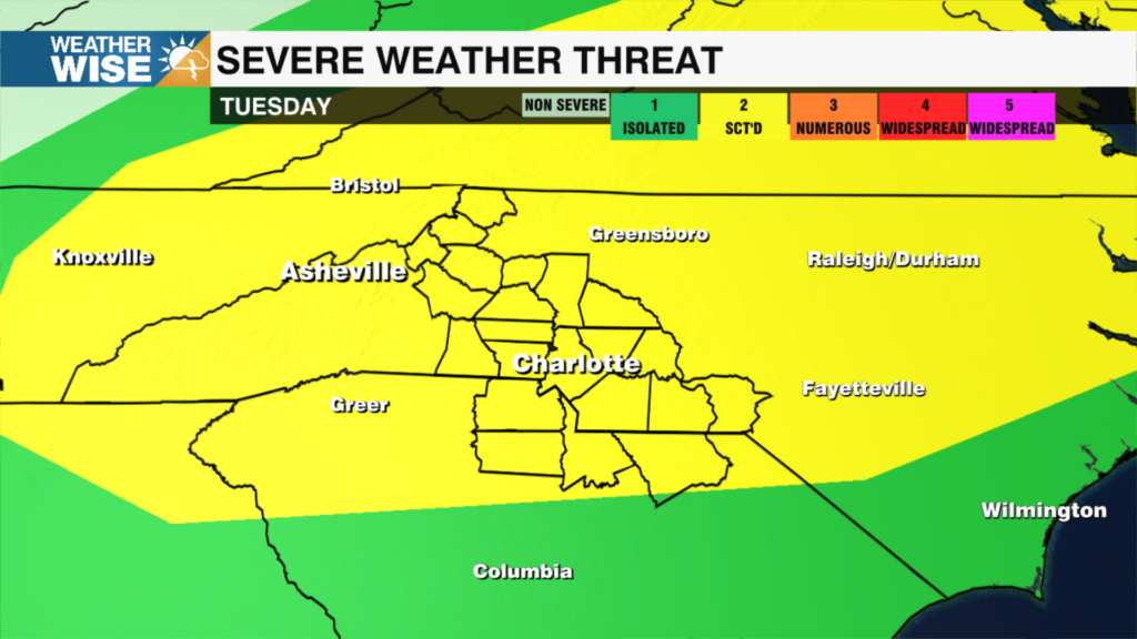
WEDNESDAY: Low – mid 70s.
A cold front will move across the area Wednesday and stall to our south. This will be the wettest day of the week with numerous to widespread showers in the morning and high temperatures in the low to mid 70s. Patchy fog is possible through the first half of the day. Clouds will decrease through late afternoon and early evening.
THURSDAY: Cold-air damming? High: 62 (This temperature may need to be adjusted)
With a stalled front to our south and an area of high pressure to our north, it will likely be a cool and cloudy Thursday. Those on the south side of the front will be mild while those on the north side will be locked in with cooler temperatures and cloud cover. Isolated to widely scattered showers are possible through the day.
FRIDAY: Mid 70s.
A cold front that will bring us a cooler weekend arrives on Friday. Most of the rain looks to break up before getting to the area, so for now only isolated showers are in the forecast. Partly sunny skies will be overhead with highs in the mid 70s.
WEEKEND:
This weekend will be cooler and feature more clouds than sun. Saturday will be dry ahead of an unsettled Sunday. Scattered showers are in the forecast for Sunday with mountain snow possible.
RAIN TOTALS:
The highest totals stay to our west across Tennessee and Kentucky. In our area, the mountains will see the most rain at 1”-2”. Rain totals will decrease as you head southeast.
Have a great week!
Kaitlin