Rain and Storms Monday, Unsettled Week of Weather
AM Headlines
- Wind Advisory for areas north of I-85
- Highs in the 80s, rain, and storms late
- Level 2 Severe Weather Threat
- Timing: 4 – 9 pm
- Damaging wind gusts primary threat
- An isolated tornado cannot be ruled out
- Cooler and unsettled the rest of the week
- Rain returns late Tuesday
Discussion
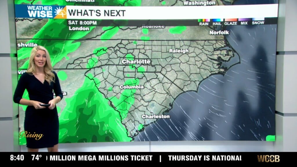
A strong cold front will be charging toward the area today. This is the same system that is bringing severe weather across parts of Arkansas this morning. A wind advisory will be issued for areas north of I-85 where 40-50 mph gusts will be possible this afternoon. Highs will reach the low 80s under partly cloudy skies. The cold front will move into the mountains after 4 pm and reach the Charlotte Metro Area by 6-7 pm. Areas north of I-85 are under a Level 2 severe threat. Damaging wind gusts will be the primary threat, but can’t completely rule out a brief tornado. This cold front will begin to lose steam after it passes over the Appalachians, but if any storms become severe it will likely happen on the leading edge of the front.
Rain will wrap up early Tuesday as the front stalls south of the area. Flooding is not a huge concern with this first round of rain, but it could become a problem by the end of the week with unsettled weather remaining in the forecast through Saturday. Temps will reach the mid-60s Tuesday afternoon. Pulses of energy will nudge the front north into the region Tuesday night bringing more rain and at times heavy downpours to the region through Wednesday morning. Expect unsettled weather with on and off rain chances through the end of the week. Temps will fall below average with highs in the mid-50s Wednesday and Thursday. We will need to watch for a flooding threat by the end of the week with 1-3″ of rainfall likely across the region. The last blast of rain will come late Friday into Saturday. Cooler temps will take hold by the end of the weekend with Sunday morning temps in the mid-20s and daytime highs only reaching the low 50s.