Hot, But Dry Forecast to Start the Week
AM Headlines:
- Cool and clear start
- Pleasant and dry Monday
- Heating up through mid-week
- Storm chances return late week
Discussion:
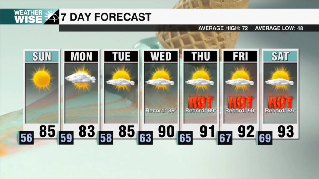
We are continuing where we left off this weekend with another beautiful and dry day Monday. Highs will reach the upper 80s with clouds starting to fill in late in the day. Without the mugginess, it will feel pleasant and dry to start the week as high pressure in the west keeps any breeze light out of the northwest. Temps begin to climb Tuesday back into the mid-90s. Humidity levels will begin to rise as high pressure scoots east, but overall it will remain pretty comfortable Tuesday even with the increase in heat. There is some discrepancy in how hot it will get Wednesday – which will be the hottest day of the week. As high pressure continues to track east, winds will begin to shift out of the south ultimately drawing in more tropical moisture to the region and bringing on more sticky weather. However, the more moisture we have, the slower temps will climb. Keeping highs capped just under 100 Wednesday, but if dew points remain low, we could see temps soar well into the triple digits. Rain and storm chances return Thursday with highs remaining hot in the mid 90s as a cold front slowly sinks into the region. Scattered late-day storms will remain in the forecast through the weekend with highs slightly above average in the low 90s through Sunday.


