Tale Of Two Seasons This Weekend
Cold front moves through mid weekend which will help briefly cool things down.
Discussion:
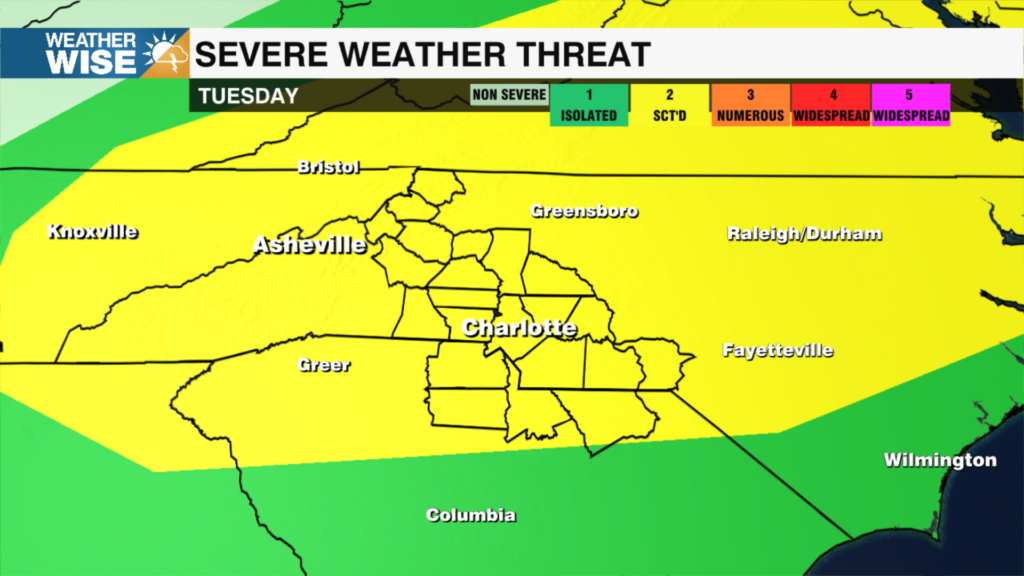
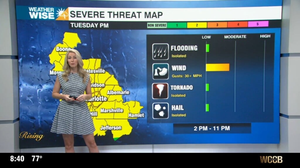
Hot and humid high pressure will dominate the region through Saturday. There is a marginal risk (level 1 of 5) for severe weather this evening and again on Saturday. Damaging wind, frequent lightning, hail and isolated flash flooding will all be possible. A cold front will approach from the north this weekend bringing us numerous showers ahead of a late weekend cool down.
Forecast:
Tonight: Afternoon – evening isolated severe storms. There is a marginal risk for severe weather today – damaging wind, frequent lightning and isolated flooding are the primary threats. Mostly cloudy with overnight lows in the mid 70s.
Weekend: Showers are likely this weekend as a front approaches the area. Showers will be numerous Saturday PM and scattered on Sunday. There is another marginal risk for severe weather on Saturday. Temperatures will top out near 90 on Saturday, but struggle to reach 80 on Sunday.
Next Week: Rain chances will be widely scattered through the first half of the week, but no one day will be a washout. Temperatures will gradually rise with highs in the low 80s on Monday, but back to near 90 on Tuesday.