Cool Air Wedges Into Carolinas
It took until 2 PM for the Queen City to crack 70°. Today. In the middle of August.
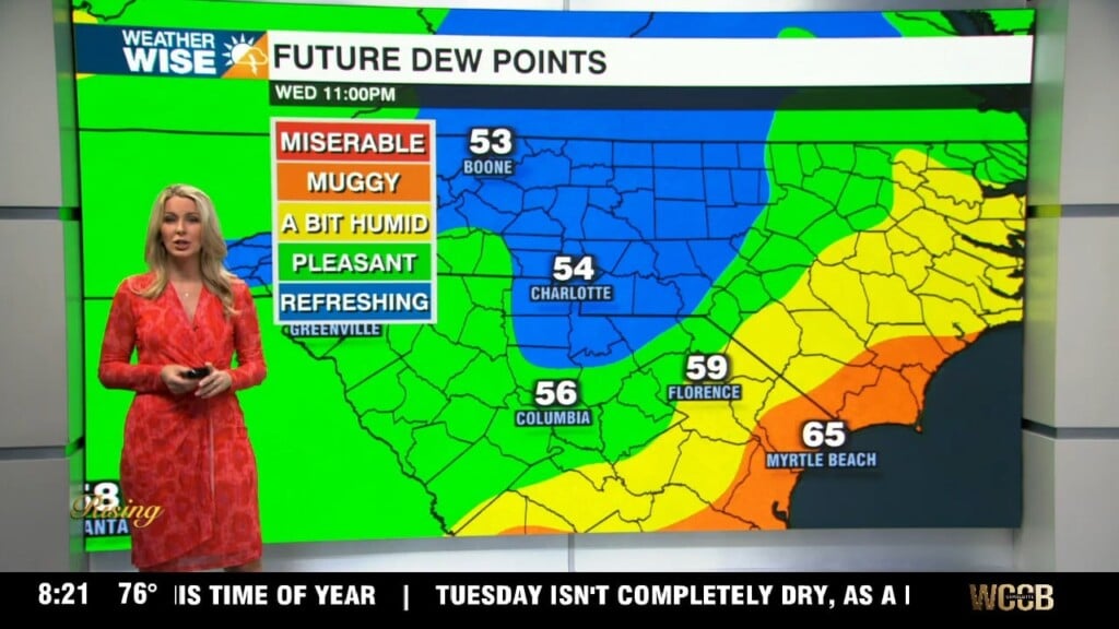
It may be August, but fall has wedged itself into the Carolinas. After a powerful cold front brought intense storms to the area yesterday, much cooler air has made itself at home. A substantial area of high pressure to our northeast is bringing us a cold air damming (CAD) setup we would typically see in the dead of winter. This time, instead of bringing us highs in the 30s and sleet, we’re getting 60s and 70s with clouds and a few showers. Expect our “wedge” conditions to continue through Thursday, although temperatures should rise closer to 80° over the next couple of days.
Summer takes the reins back by the weekend. Temperatures will return to near-normal values in the upper 80s and lower 90s Saturday and Sunday to go along with scattered thunderstorms. Farther to our south, the National Hurricane Center (NHC) is tracking an area of low pressure with a slight chance of development as it moves into the open Gulf of Mexico over the next few days. We’ll keep you posted.
Tonight: Cloudy with a few showers. Low: 65°. Wind: NE 5-10.
Wednesday: Mostly cloudy with some drizzle. High: 78°. Wind: NE 5-10.
Wednesday Night: A few showers early, then mostly cloudy. Low: 67°. Wind: NE 5-10.
Thursday: Warmer with peeks of sunshine. PM storms. Low: 82°. Wind: SE 5-10.