Summer Steps Into September
The back half of the week remains hot, but rain chances and humidity plummet.
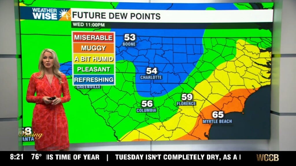
The Queen City cracked 90° for the third time in as many days Sunday afternoon as summer tightens its grip on the Carolinas. Expect the hot and humid conditions to continue through Tuesday, with Piedmont and Foothills locations near 90°, while the High Country settles closer to 80°. Rain chances remain in the isolated range for the better part of the next 48 hours, although a few storms may crop up along a cold front that arrives Tuesday evening. While the frontal passage won’t bring much of a cooldown for the back half of the week, rain chances and humidity take a dive. Expect the mugginess to return by the first weekend of September.
It’s nearly been two months since our last named storm, Colin, dissipated along the Carolina coastline. While development is not expected over the next two days, odds are high that we’ll have Tropical Storm Danielle by the start of next week. The National Hurricane Center is monitoring four areas in the Atlantic for tropical growth. The system with the strongest chance currently lies roughly 1,000 miles east of the Caribbean. No tropical threats will encroach upon the Carolinas for the next week.
Tonight: A few showers early, then partly cloudy. Low: 71°. Wind: Light.
Monday: Mostly sunny with a few stray storms, mainly south. High: 90°. Wind: E 5-10.
Monday Night: Mostly clear. Mild and muggy. Low: 70°. Wind: Light.
Tuesday: Variable clouds with PM isolated storms. High: 92°. Wind: SW 5-10.